Ulan-Ude night lights from space
Night Light of Ulan-Ude (Buryatiya Republic) from space (Russia) Src. Average luminocity for 10x10km area is 71.7661% and for 50x50km: 7.3724%.
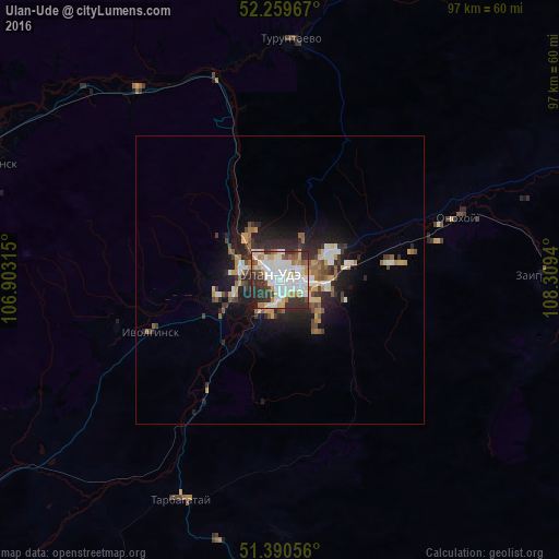
Analysis of Ulan-Ude night lights 2016
Square area 10x10 km:
 21.43%
90-99
24.23%80-89
6.3%70-79
7.56%60-69
6.86%50-59
3.08%40-49
5.18%30-39
14.29%20-29
9.52%10-19
1.54%0-9
0%Square area 50x50 km:
1.09%90-99
1.52%80-89
0.69%70-79
0.93%60-69
0.91%50-59
0.78%40-49
0.89%30-39
1.41%20-29
2.41%10-19
4.39%0-9
84.99%Clear (daylight) street map image can be seen on geolist.org.
Map coordinates:
52° 15' 34.8" North, 106° 54' 11.3" East
51° 49' 38" North, 107° 36' 22.6" East
51° 23' 26" North, 108° 18' 33.8" East
Some cities around Ulan-Ude sort by population:
• Onokhoy
33.6 km =20.9 mi,  70°
70°
• Zarechnyy
6.4 km =4 mi,  292°
292°
• Ivolginsk
23.8 km =14.8 mi,  248°
248°
• Turuntayevo
41.8 km =26 mi,  3°
3°
• Kabansk
69.8 km =43.4 mi, 290°
• Sokol
11.5 km =7.1 mi, 254°
• Zaigrayevo
45.4 km =28.2 mi,  88°
88°
• Mukhorshibir’
87.8 km =54.6 mi,  169°
169°
2014407 (p: 360,278)
Sources (retrieved 2019-11-25):
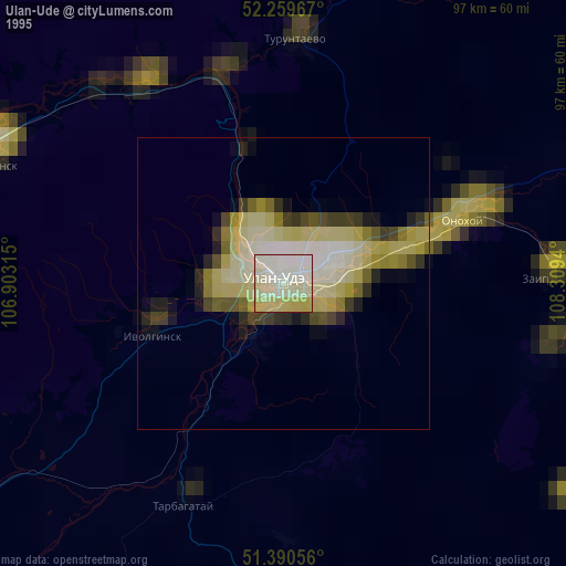
» NASA, Earths city lights 1995
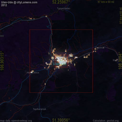
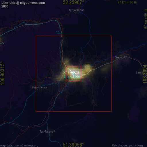
» NASA city lights 2003
» Earth at Night: Flat Maps 2012, 2016