Tomilino night lights from space
Night Light of Tomilino (Moscow Oblast) from space (Russia) Src. Average luminocity for 10x10km area is 84.4199% and for 50x50km: 58.4996%.
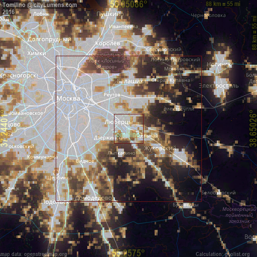
Analysis of Tomilino night lights 2016
Square area 10x10 km:
 34.45%
90-99
23.8%80-89
7.3%70-79
9.81%60-69
11.12%50-59
4.43%40-49
6.46%30-39
2.63%20-29
0%10-19
0%0-9
0%Square area 50x50 km:
24.67%90-99
11.67%80-89
4.21%70-79
5.15%60-69
5.29%50-59
4.73%40-49
5.53%30-39
6.98%20-29
9.52%10-19
10.1%0-9
12.15%Clear (daylight) street map image can be seen on geolist.org.
Map coordinates:
56° 3' 3.1" North, 37° 14' 38.4" East
55° 39' 22.3" North, 37° 56' 49.7" East
55° 15' 27" North, 38° 39' 0.9" East
Some cities around Tomilino sort by population:
• Lyubertsy
4.1 km =2.5 mi,  304°
304°
• Dzerzhinsky
6.4 km =4 mi,  240°
240°
• Malakhovka
5 km =3.1 mi,  100°
100°
• Udel’naya
4.9 km =3 mi,  134°
134°
• Kraskovo
2.6 km =1.6 mi,  105°
105°
• Oktyabr’skiy
5.7 km =3.5 mi,  160°
160°
• Nekrasovka
4.7 km =2.9 mi,  331°
331°
• Korenëvo
4.2 km =2.6 mi,  65°
65°
482260 (p: 28,310)
Sources (retrieved 2019-11-25):
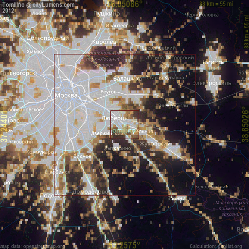
» Earth at Night: Flat Maps 2012, 2016