Dzerzhinsky night lights from space
Night Light of Dzerzhinsky (Moscow Oblast) from space (Russia) Src. Average luminocity for 10x10km area is 77.0564% and for 50x50km: 66.1966%.
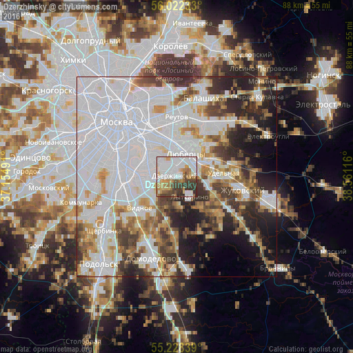
Analysis of Dzerzhinsky night lights 2016
Square area 10x10 km:
 27.94%
90-99
22.68%80-89
4.76%70-79
10.03%60-69
7.77%50-59
4.51%40-49
7.39%30-39
12.03%20-29
2.88%10-19
0%0-9
0%Square area 50x50 km:
30.87%90-99
13.34%80-89
4.92%70-79
5.78%60-69
5.42%50-59
4.57%40-49
5.35%30-39
6.04%20-29
8.22%10-19
8.49%0-9
7.01%Clear (daylight) street map image can be seen on geolist.org.
Map coordinates:
56° 1' 20.4" North, 37° 9' 17.7" East
55° 37' 38.5" North, 37° 51' 28.9" East
55° 13' 42.2" North, 38° 33' 40.2" East
Some cities around Dzerzhinsky sort by population:
• Lyubertsy
6 km =3.7 mi,  21°
21°
• Zyablikovo
5.9 km =3.7 mi,  258°
258°
• Brateyevo
6 km =3.7 mi,  280°
280°
• Alekseyevka
3.7 km =2.3 mi,  274°
274°
• Lytkarino
5.8 km =3.6 mi,  149°
149°
• Kapotnya
4.2 km =2.6 mi,  286°
286°
• Tomilino
6.4 km =4 mi,  60°
60°
• Kotel’niki
1.2 km =0.7 mi,  316°
316°
8521440 (p: 47,163)
Sources (retrieved 2019-11-25):
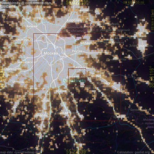
» Earth at Night: Flat Maps 2012, 2016