Tayga night lights from space
Night Light of Tayga (Kemerovo Oblast) from space (Russia) Src. Average luminocity for 10x10km area is 20.3457% and for 50x50km: 2.5261%.
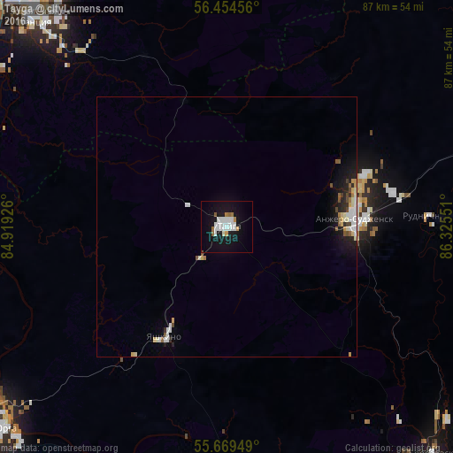
Analysis of Tayga night lights 2016
Square area 10x10 km:
 5.5%
5.5%90-99
5.98%80-89
0%70-79
0.96%60-69
2.03%50-59
1.32%40-49
0.24%30-39
0%20-29
0%10-19
27.03%0-9
56.94%Square area 50x50 km:
0.48%90-99
0.64%80-89
0.21%70-79
0.2%60-69
0.19%50-59
0.23%40-49
0.25%30-39
0.05%20-29
0.43%10-19
2.09%0-9
95.24%Clear (daylight) street map image can be seen on geolist.org.
Map coordinates:
56° 27' 16.4" North, 84° 55' 9.3" East
56° 3' 50.5" North, 85° 37' 20.6" East
55° 40' 10.2" North, 86° 19' 31.8" East
Some cities around Tayga sort by population:
• Tomsk
62.7 km =39 mi,  320°
320°
• Yurga
59.5 km =37 mi,  230°
230°
• Anzhero-Sudzhensk
25.3 km =15.7 mi,  85°
85°
• Berëzovskiy
63 km =39.1 mi,  145°
145°
• Yashkino
24.4 km =15.2 mi,  209°
209°
• Yaya
53.1 km =33 mi,  72°
72°
• Timiryazevskoye
66 km =41 mi, 315°
• Izhmorskiy
64.8 km =40.3 mi,  77°
77°
1489907 (p: 24,328)
Sources (retrieved 2019-11-25):
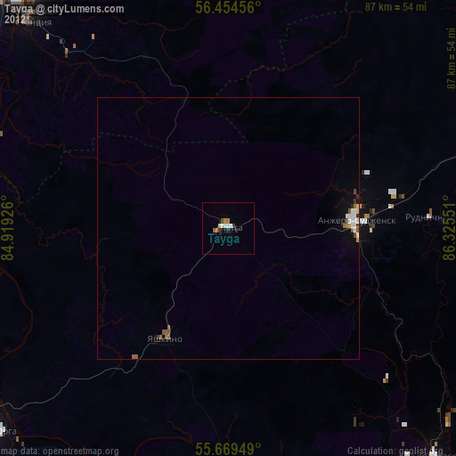
» Earth at Night: Flat Maps 2012, 2016