Taseyevo night lights from space
Night Light of Taseyevo (Krasnoyarskiy) from space (Russia) Src. Average luminocity for 10x10km area is 1.0226% and for 50x50km: 0.0461%.
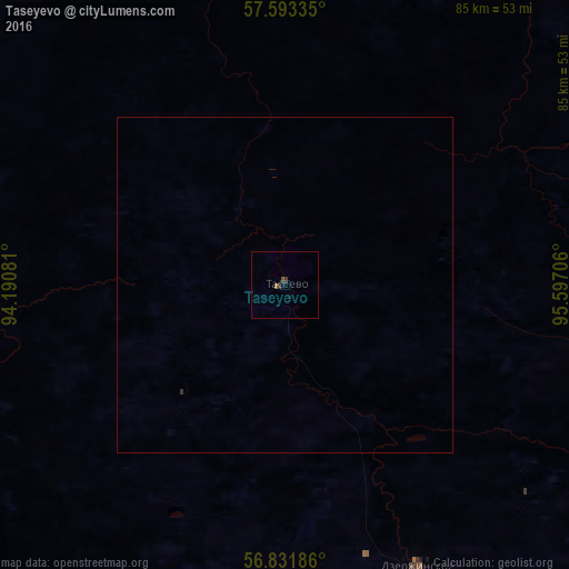
Analysis of Taseyevo night lights 2016
Square area 10x10 km:
 0%
0%90-99
0%80-89
0%70-79
0%60-69
0.48%50-59
0.12%40-49
0.36%30-39
0.71%20-29
0.24%10-19
0.95%0-9
97.14%Square area 50x50 km:
0%90-99
0%80-89
0%70-79
0%60-69
0.02%50-59
0%40-49
0.01%30-39
0.05%20-29
0.01%10-19
0.04%0-9
99.87%Clear (daylight) street map image can be seen on geolist.org.
Map coordinates:
57° 35' 36.1" North, 94° 11' 26.9" East
57° 12' 52.5" North, 94° 53' 38.1" East
56° 49' 54.7" North, 95° 35' 49.4" East
Some cities around Taseyevo sort by population:
• Kansk
123.3 km =76.6 mi,  155°
155°
• Zheleznogorsk
135.6 km =84.3 mi,  217°
217°
• Zelenogorsk
123.9 km =77 mi,  188°
188°
• Borodino
145.5 km =90.4 mi,  179°
179°
• Ilanskiy
130.5 km =81.1 mi,  146°
146°
• Aban
92.7 km =57.6 mi,  129°
129°
• Dzerzhinskoye
46.9 km =29.1 mi, 154°
• Motygino
108.4 km =67.4 mi,  353°
353°
1490058 (p: 8,479)
Sources (retrieved 2019-11-25):
» Earth at Night: Flat Maps 2012, 2016