Tarusa night lights from space
Night Light of Tarusa (Kaluga) from space (Russia) Src. Average luminocity for 10x10km area is 0.8058% and for 50x50km: 5.1721%.
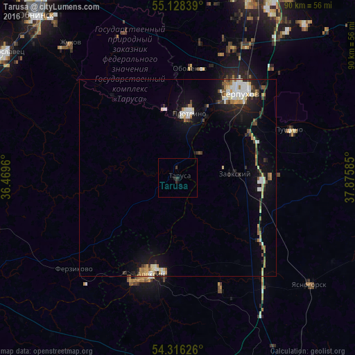
Analysis of Tarusa night lights 2016
Square area 10x10 km:
 0%
0%90-99
0%80-89
0%70-79
0%60-69
0%50-59
0%40-49
0.25%30-39
1.25%20-29
0.38%10-19
0.63%0-9
97.49%Square area 50x50 km:
0.74%90-99
1.09%80-89
0.56%70-79
0.48%60-69
0.57%50-59
0.52%40-49
0.4%30-39
0.65%20-29
1.09%10-19
3.77%0-9
90.13%Clear (daylight) street map image can be seen on geolist.org.
Map coordinates:
55° 7' 42.2" North, 36° 28' 10.6" East
54° 43' 27.7" North, 37° 10' 21.8" East
54° 18' 58.5" North, 37° 52' 33.1" East
Some cities around Tarusa sort by population:
• Serpukhov
26.2 km =16.3 mi,  35°
35°
• Aleksin
25.3 km =15.7 mi,  195°
195°
• Protvino
16.2 km =10.1 mi,  9°
9°
• Pushchino
30.6 km =19 mi,  66°
66°
• Yasnogorsk
43.4 km =27 mi,  128°
128°
• Kremenki
18.3 km =11.4 mi,  349°
349°
• Zaokskiy
15 km =9.3 mi,  86°
86°
• Obolensk
28.3 km =17.6 mi, 6°
484287 (p: 10,180)
Sources (retrieved 2019-11-25):
» Earth at Night: Flat Maps 2012, 2016