Kremenki night lights from space
Night Light of Kremenki (Kaluga) from space (Russia) Src. Average luminocity for 10x10km area is 6.1435% and for 50x50km: 5.1335%.
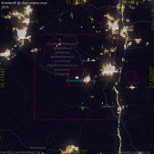
Analysis of Kremenki night lights 2016
Square area 10x10 km:
 1.2%
1.2%90-99
1.67%80-89
0.48%70-79
0.24%60-69
0.24%50-59
0%40-49
0%30-39
0.96%20-29
0.48%10-19
4.78%0-9
89.95%Square area 50x50 km:
0.66%90-99
0.93%80-89
0.41%70-79
0.34%60-69
0.48%50-59
0.55%40-49
0.64%30-39
0.96%20-29
1.77%10-19
4.66%0-9
88.59%Clear (daylight) street map image can be seen on geolist.org.
Map coordinates:
55° 17' 19.2" North, 36° 24' 59.1" East
54° 53' 10.5" North, 37° 7' 10.4" East
54° 28' 47.2" North, 37° 49' 21.6" East
Some cities around Kremenki sort by population:
• Serpukhov
18.9 km =11.7 mi,  80°
80°
• Protvino
6.5 km =4 mi,  108°
108°
• Pushchino
32 km =19.9 mi,  100°
100°
• Zhukovo
28.9 km =18 mi,  304°
304°
• Tarusa
18.3 km =11.4 mi,  169°
169°
• Belousovo
36.7 km =22.8 mi,  309°
309°
• Zaokskiy
25.1 km =15.6 mi,  133°
133°
• Obolensk
12.2 km =7.6 mi,  33°
33°
541235 (p: 11,994)
Sources (retrieved 2019-11-25):
» Earth at Night: Flat Maps 2012, 2016