Taksimo night lights from space
Night Light of Taksimo (Buryatiya Republic) from space (Russia) Src. Average luminocity for 10x10km area is 7.3036% and for 50x50km: 0.3414%.
Analysis of Taksimo night lights 2016
Square area 10x10 km:
 0.71%
0.71%90-99
0.95%80-89
0.48%70-79
0.95%60-69
0.48%50-59
1.67%40-49
3.1%30-39
0.48%20-29
1.43%10-19
1.07%0-9
88.69%Square area 50x50 km:
0.03%90-99
0.04%80-89
0.02%70-79
0.04%60-69
0.04%50-59
0.07%40-49
0.12%30-39
0.03%20-29
0.06%10-19
0.04%0-9
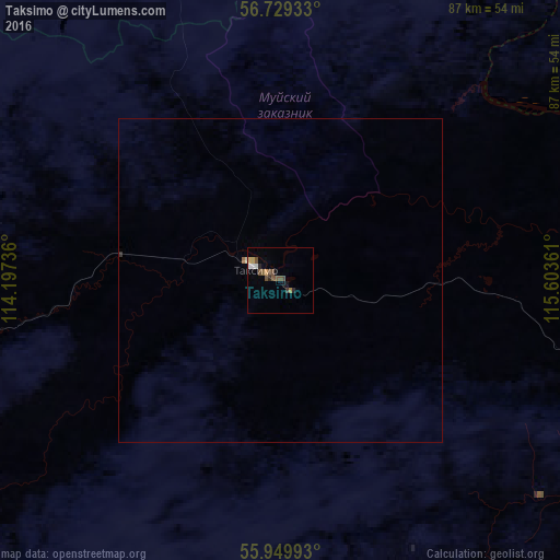
99.5%Clear (daylight) street map image can be seen on geolist.org.
Map coordinates:
56° 43' 45.6" North, 114° 11' 50.5" East
56° 20' 29.8" North, 114° 54' 1.7" East
55° 56' 59.7" North, 115° 36' 13" East
Some cities around Taksimo sort by population:
• Severobaykal’sk
355.5 km =220.9 mi,  257°
257°
• Bodaybo
173.1 km =107.6 mi,  345°
345°
• Kirensk
440.4 km =273.7 mi,  291°
291°
• Mogocha
424.2 km =263.6 mi,  133°
133°
• Kuanda
72.8 km =45.2 mi,  92°
92°
• Vershino-Darasunskiy
443.9 km =275.8 mi,  174°
174°
• Kurumkan
367.2 km =228.2 mi,  232°
232°
• Nizhneangarsk
335.7 km =208.6 mi, 259°
2015701 (p: 10,359)
Sources (retrieved 2019-11-25):
» Earth at Night: Flat Maps 2012, 2016