Kuanda night lights from space
Night Light of Kuanda (Transbaikal Territory) from space (Russia) Src. Average luminocity for 10x10km area is 0.1516% and for 50x50km: 0.0058%.
Analysis of Kuanda night lights 2016
Square area 10x10 km:
 0%
0%90-99
0%80-89
0%70-79
0%60-69
0%50-59
0%40-49
0%30-39
0%20-29
0%10-19
0.5%0-9
99.5%Square area 50x50 km:
0%90-99
0%80-89
0%70-79
0%60-69
0%50-59
0%40-49
0%30-39
0%20-29
0%10-19
0.02%0-9
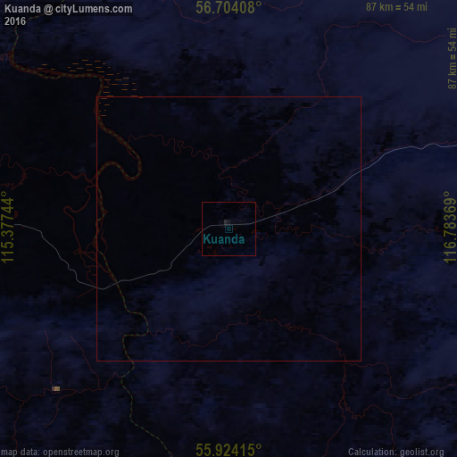
99.98%Clear (daylight) street map image can be seen on geolist.org.
Map coordinates:
56° 42' 14.7" North, 115° 22' 38.8" East
56° 18' 58" North, 116° 4' 50" East
55° 55' 26.9" North, 116° 47' 1.3" East
Some cities around Kuanda sort by population:
• Severobaykal’sk
427 km =265.3 mi,  259°
259°
• Bodaybo
205.2 km =127.5 mi,  326°
326°
• Mogocha
370.8 km =230.4 mi,  140°
140°
• Chernyshevsk
426.2 km =264.8 mi,  171°
171°
• Taksimo
72.8 km =45.2 mi,  272°
272°
• Vershino-Darasunskiy
440.7 km =273.8 mi,  184°
184°
• Kurumkan
427.2 km =265.4 mi,  238°
238°
• Nizhneangarsk
407.6 km =253.3 mi, 261°
2055815 (p: 9,601)
Sources (retrieved 2019-11-25):
» Earth at Night: Flat Maps 2012, 2016