Strunino night lights from space
Night Light of Strunino (Vladimir) from space (Russia) Src. Average luminocity for 10x10km area is 6.7179% and for 50x50km: 2.4943%.
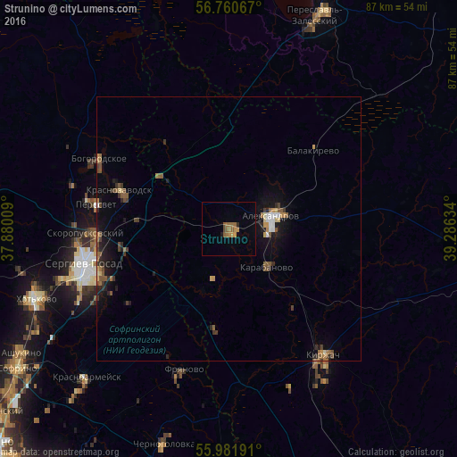
Analysis of Strunino night lights 2016
Square area 10x10 km:
 0%
0%90-99
0%80-89
0%70-79
2.38%60-69
1.9%50-59
2.38%40-49
0.95%30-39
0%20-29
0.48%10-19
0.6%0-9
91.31%Square area 50x50 km:
0.14%90-99
0.17%80-89
0.21%70-79
0.32%60-69
0.41%50-59
0.58%40-49
0.47%30-39
0.34%20-29
0.71%10-19
1.85%0-9
94.79%Clear (daylight) street map image can be seen on geolist.org.
Map coordinates:
56° 45' 38.4" North, 37° 52' 48.3" East
56° 22' 23.8" North, 38° 34' 59.6" East
55° 58' 54.9" North, 39° 17' 10.8" East
Some cities around Strunino sort by population:
• Aleksandrov
8.3 km =5.2 mi,  72°
72°
• Karabanovo
9.6 km =6 mi,  131°
131°
• Peresvet
25.7 km =16 mi,  282°
282°
• Krasnozavodsk
24.1 km =15 mi,  290°
290°
• Fryanovo
27.9 km =17.3 mi,  197°
197°
• Bogorodskoye
28.3 km =17.6 mi,  299°
299°
• Balakirevo
21.7 km =13.5 mi,  47°
47°
• Skoropuskovskiy
25.7 km =16 mi,  268°
268°
487095 (p: 15,483)
Sources (retrieved 2019-11-25):
» Earth at Night: Flat Maps 2012, 2016