Staroyur’yevo night lights from space
Night Light of Staroyur’yevo (Tambov) from space (Russia) Src. Average luminocity for 10x10km area is 0% and for 50x50km: 0.0214%.
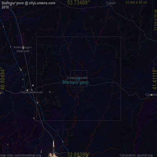
Analysis of Staroyur’yevo night lights 2016
Square area 10x10 km:
 0%
0%90-99
0%80-89
0%70-79
0%60-69
0%50-59
0%40-49
0%30-39
0%20-29
0%10-19
0%0-9
100%Square area 50x50 km:
0%90-99
0%80-89
0%70-79
0%60-69
0%50-59
0.02%40-49
0.02%30-39
0%20-29
0%10-19
0%0-9
99.96%Clear (daylight) street map image can be seen on geolist.org.
Map coordinates:
53° 44' 2.7" North, 40° 0' 17.8" East
53° 18' 58" North, 40° 42' 29" East
52° 53' 38.4" North, 41° 24' 40.3" East
Some cities around Staroyur’yevo sort by population:
• Michurinsk
48.7 km =30.3 mi,  197°
197°
• Ryazhsk
58.5 km =36.4 mi,  317°
317°
• Chaplygin
50.2 km =31.2 mi,  260°
260°
• Pervomayskiy
29 km =18 mi,  254°
254°
• Sosnovka
44.8 km =27.8 mi,  101°
101°
• Sarai
52.1 km =32.4 mi,  23°
23°
• Zavoronezhskoye
49.6 km =30.8 mi,  192°
192°
• Ukholovo
54.9 km =34.1 mi,  344°
344°
488214 (p: 6,900)
Sources (retrieved 2019-11-25):
» Earth at Night: Flat Maps 2012, 2016