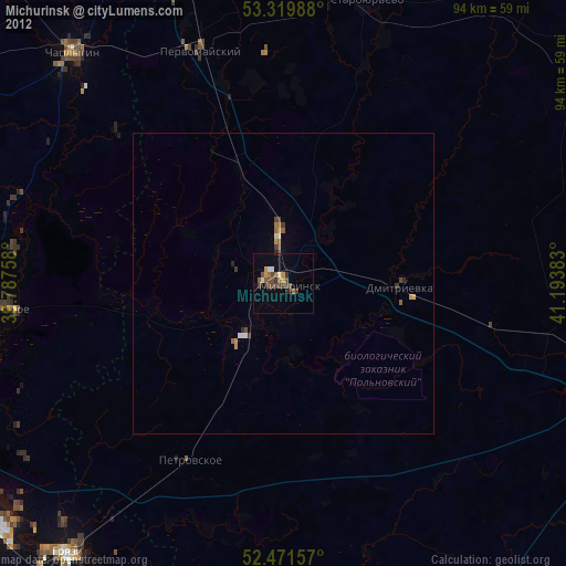
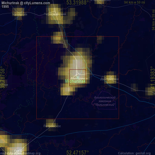
Michurinsk night lights from space
Night Light of Michurinsk (Tambov) from space (Russia) Src. Average luminocity for 10x10km area is 8.7677% and for 50x50km: 0.7222%.


Analysis of Michurinsk night lights 2016
Square area 10x10 km:
 0%
0%90-99
0%80-89
0.38%70-79
3.41%60-69
1.26%50-59
1.52%40-49
2.65%30-39
2.4%20-29
1.01%10-19
0.25%0-9
87.12%Square area 50x50 km:
0.02%90-99
0.03%80-89
0.05%70-79
0.19%60-69
0.09%50-59
0.2%40-49
0.19%30-39
0.24%20-29
0.06%10-19
0.03%0-9
98.9%Clear (daylight) street map image can be seen on geolist.org.
Map coordinates:
53° 19' 11.6" North, 39° 47' 15.3" East
52° 53' 52.1" North, 40° 29' 26.5" East
52° 28' 17.7" North, 41° 11' 37.8" East
Some cities around Michurinsk sort by population:
• Tambov
66.6 km =41.4 mi,  106°
106°
• Gryazi
58.2 km =36.2 mi,  219°
219°
• Chaplygin
52.1 km =32.4 mi,  317°
317°
• Pervomayskiy
41.3 km =25.7 mi,  340°
340°
• Staroyur’yevo
48.7 km =30.3 mi,  17°
17°
• Zavoronezhskoye
4.6 km =2.9 mi,  115°
115°
• Dobroye
45.7 km =28.4 mi,  265°
265°
• Pokrovo-Prigorodnoye
66.7 km =41.4 mi, 110°
527191 (p: 93,499)
Sources (retrieved 2019-11-25):
» NASA, Earths city lights 1995
» NASA city lights 2003
» Earth at Night: Flat Maps 2012, 2016