Ryazhsk night lights from space
Night Light of Ryazhsk (Ryazan Oblast) from space (Russia) Src. Average luminocity for 10x10km area is 0.9533% and for 50x50km: 0.0781%.
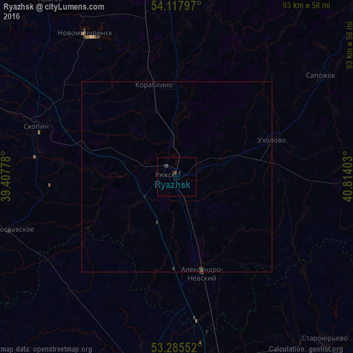
Analysis of Ryazhsk night lights 2016
Square area 10x10 km:
 0%
0%90-99
0%80-89
0%70-79
0%60-69
0%50-59
0%40-49
1.01%30-39
1.01%20-29
0.51%10-19
0%0-9
97.47%Square area 50x50 km:
0%90-99
0%80-89
0%70-79
0%60-69
0%50-59
0%40-49
0.05%30-39
0.12%20-29
0.04%10-19
0.02%0-9
99.78%Clear (daylight) street map image can be seen on geolist.org.
Map coordinates:
54° 7' 4.7" North, 39° 24' 28" East
53° 42' 13.7" North, 40° 6' 39.2" East
53° 17' 7.9" North, 40° 48' 50.5" East
Some cities around Ryazhsk sort by population:
• Skopin
39.2 km =24.4 mi,  290°
290°
• Novomichurinsk
44.2 km =27.5 mi,  327°
327°
• Korablino
24.5 km =15.2 mi,  344°
344°
• Chaplygin
52.1 km =32.4 mi,  190°
190°
• Pervomayskiy
52 km =32.3 mi,  167°
167°
• Staroyur’yevo
58.5 km =36.4 mi,  137°
137°
• Ukholovo
26.8 km =16.7 mi,  68°
68°
• Starozhilovo
59.4 km =36.9 mi,  347°
347°
500047 (p: 22,041)
Sources (retrieved 2019-11-25):
» Earth at Night: Flat Maps 2012, 2016