Gorodets night lights from space
Night Light of Gorodets (Nizhny Novgorod Oblast) from space (Russia) Src. Average luminocity for 10x10km area is 16.0023% and for 50x50km: 1.5868%.
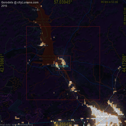
Analysis of Gorodets night lights 2016
Square area 10x10 km:
 0%
0%90-99
0.45%80-89
1.82%70-79
5.23%60-69
5.45%50-59
3.64%40-49
1.02%30-39
0.23%20-29
0.8%10-19
9.89%0-9
71.48%Square area 50x50 km:
0.02%90-99
0.03%80-89
0.13%70-79
0.47%60-69
0.43%50-59
0.36%40-49
0.18%30-39
0.06%20-29
0.3%10-19
0.46%0-9
97.55%Clear (daylight) street map image can be seen on geolist.org.
Map coordinates:
57° 2' 22" North, 42° 46' 10.6" East
56° 39' 17.7" North, 43° 28' 21.8" East
56° 15' 59.2" North, 44° 10' 33.1" East
Some cities around Gorodets sort by population:
• Novaya Balakhna
20 km =12.4 mi,  156°
156°
• Zavolzh’ye
5 km =3.1 mi,  251°
251°
• Chkalovsk
18.4 km =11.4 mi,  312°
312°
• Puchezh
40.5 km =25.2 mi,  332°
332°
• Neklyudovo
40.9 km =25.4 mi,  130°
130°
• Gidrotorf
20.3 km =12.6 mi,  168°
168°
• Bol’shoye Kozino
31.6 km =19.6 mi,  152°
152°
• Linda
38.3 km =23.8 mi,  96°
96°
559678 (p: 31,788)
Sources (retrieved 2019-11-25):
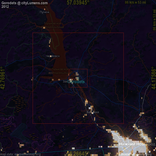
» Earth at Night: Flat Maps 2012, 2016