Belokurikha night lights from space
Night Light of Belokurikha (Altai Krai) from space (Russia) Src. Average luminocity for 10x10km area is 4.7058% and for 50x50km: 0.2093%.
Analysis of Belokurikha night lights 2016
Square area 10x10 km:
 0.76%
0.76%90-99
1.14%80-89
0.63%70-79
1.01%60-69
0.13%50-59
0.38%40-49
0%30-39
1.01%20-29
0%10-19
0.38%0-9
94.57%Square area 50x50 km:
0.03%90-99
0.05%80-89
0.03%70-79
0.04%60-69
0.01%50-59
0.04%40-49
0%30-39
0.04%20-29
0%10-19
0.02%0-9
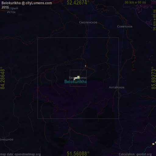
99.75%Clear (daylight) street map image can be seen on geolist.org.
Map coordinates:
52° 25' 36.3" North, 84° 17' 11.3" East
51° 59' 45.2" North, 84° 59' 22.6" East
51° 33' 39.2" North, 85° 41' 33.8" East
Some cities around Belokurikha sort by population:
• Biysk
61.9 km =38.5 mi,  13°
13°
• Gorno-Altaysk
63.8 km =39.6 mi,  93°
93°
• Mayma
63 km =39.1 mi, 87°
• Altayskoye
24 km =14.9 mi,  101°
101°
• Smolenskoye
34.8 km =21.6 mi, 10°
• Krasnogorskoye
88.9 km =55.2 mi,  68°
68°
• Pervomayskoye
69.5 km =43.2 mi,  15°
15°
• Sovetskoye
43.3 km =26.9 mi,  41°
41°
1510502 (p: 14,733)
Sources (retrieved 2019-11-25):
» Earth at Night: Flat Maps 2012, 2016