Shatrovo night lights from space
Night Light of Shatrovo (Kurgan Oblast) from space (Russia) Src. Average luminocity for 10x10km area is 0% and for 50x50km: 0%.
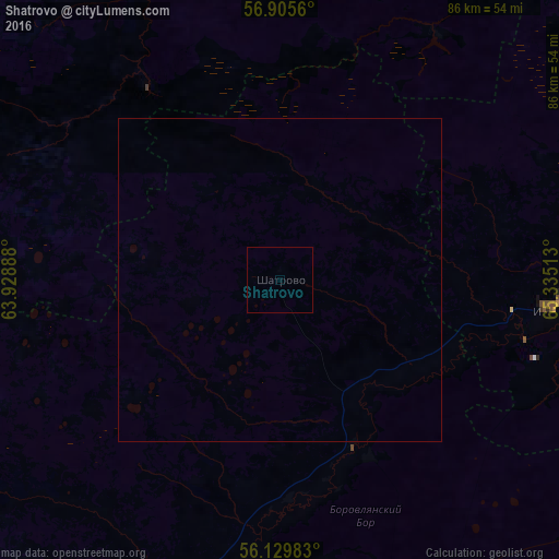
Analysis of Shatrovo night lights 2016
Square area 10x10 km:
 0%
0%90-99
0%80-89
0%70-79
0%60-69
0%50-59
0%40-49
0%30-39
0%20-29
0%10-19
0%0-9
100%Square area 50x50 km:
0%90-99
0%80-89
0%70-79
0%60-69
0%50-59
0%40-49
0%30-39
0%20-29
0%10-19
0%0-9
100%Clear (daylight) street map image can be seen on geolist.org.
Map coordinates:
56° 54' 20.2" North, 63° 55' 44" East
56° 31' 10.9" North, 64° 37' 55.2" East
56° 7' 47.4" North, 65° 20' 6.5" East
Some cities around Shatrovo sort by population:
• Shadrinsk
78.3 km =48.7 mi,  231°
231°
• Talitsa
77.4 km =48.1 mi,  314°
314°
• Borovskiy
88.1 km =54.7 mi,  48°
48°
• Vinzili
84.9 km =52.8 mi, 54°
• Troitskiy
80.7 km =50.1 mi,  318°
318°
• Bogandinskiy
87.5 km =54.4 mi,  61°
61°
• Isetskoye
42.5 km =26.4 mi,  95°
95°
• Tugulym
60 km =37.3 mi,  0°
0°
1492388 (p: 6,295)
Sources (retrieved 2019-11-25):
» Earth at Night: Flat Maps 2012, 2016