Severo-Yeniseyskiy night lights from space
Night Light of Severo-Yeniseyskiy (Krasnoyarskiy) from space (Russia) Src. Average luminocity for 10x10km area is 5.1374% and for 50x50km: 0.2621%.
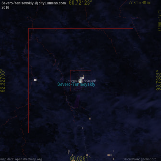
Analysis of Severo-Yeniseyskiy night lights 2016
Square area 10x10 km:
 1.3%
1.3%90-99
1.3%80-89
0%70-79
0.43%60-69
0%50-59
0%40-49
1.62%30-39
0.97%20-29
0.54%10-19
0.76%0-9
93.07%Square area 50x50 km:
0.05%90-99
0.08%80-89
0%70-79
0.02%60-69
0%50-59
0%40-49
0.08%30-39
0.05%20-29
0.05%10-19
0.03%0-9
99.63%Clear (daylight) street map image can be seen on geolist.org.
Map coordinates:
60° 43' 16.4" North, 92° 19' 37.4" East
60° 22' 31.9" North, 93° 1' 48.6" East
60° 1' 34" North, 93° 43' 59.9" East
Some cities around Severo-Yeniseyskiy sort by population:
• Lesosibirsk
239.9 km =149.1 mi,  187°
187°
• Yeniseysk
219.5 km =136.4 mi, 192°
• Kodinsk
398.5 km =247.6 mi,  119°
119°
• Boguchany
334.4 km =207.8 mi,  131°
131°
• Taseyevo
367.5 km =228.4 mi,  163°
163°
• Dzerzhinskoye
413.7 km =257.1 mi, 162°
• Motygino
261.3 km =162.4 mi, 158°
• Strelka
256 km =159.1 mi,  179°
179°
1492566 (p: 6,564)
Sources (retrieved 2019-11-25):
» Earth at Night: Flat Maps 2012, 2016