Rublëvo night lights from space
Night Light of Rublëvo (Moscow) from space (Russia) Src. Average luminocity for 10x10km area is 89.0467% and for 50x50km: 78.4629%.
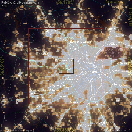
Analysis of Rublëvo night lights 2016
Square area 10x10 km:
 38.16%
90-99
28.83%80-89
6.46%70-79
9.21%60-69
11.72%50-59
4.43%40-49
1.2%30-39
0%20-29
0%10-19
0%0-9
0%Square area 50x50 km:
38.42%90-99
18.1%80-89
5.88%70-79
6.32%60-69
6.85%50-59
5.65%40-49
5.28%30-39
4.71%20-29
3.6%10-19
1.94%0-9
3.24%Clear (daylight) street map image can be seen on geolist.org.
Map coordinates:
56° 10' 42.6" North, 36° 39' 6.1" East
55° 47' 6.5" North, 37° 21' 17.3" East
55° 23' 15.9" North, 38° 3' 28.6" East
Some cities around Rublëvo sort by population:
• Khoroshëvo-Mnevniki
7.3 km =4.5 mi,  91°
91°
• Strogino
5.2 km =3.2 mi,  44°
44°
• Shchukino
6.2 km =3.9 mi,  74°
74°
• Krasnogorsk
4.2 km =2.6 mi,  338°
338°
• Pokrovskoye-Streshnëvo
6.9 km =4.3 mi, 68°
• Setun’
8.5 km =5.3 mi,  153°
153°
• Bol’shaya Setun’
8.5 km =5.3 mi, 153°
• Opalikha
7.8 km =4.8 mi,  305°
305°
500843 (p: 20,000)
Sources (retrieved 2019-11-25):
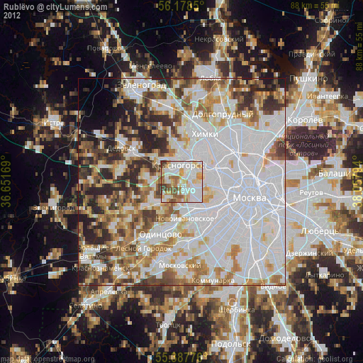
» Earth at Night: Flat Maps 2012, 2016