Khoroshëvo-Mnevniki night lights from space
Night Light of Khoroshëvo-Mnevniki (Moscow Oblast) from space (Russia) Src. Average luminocity for 10x10km area is 98.2309% and for 50x50km: 83.8873%.
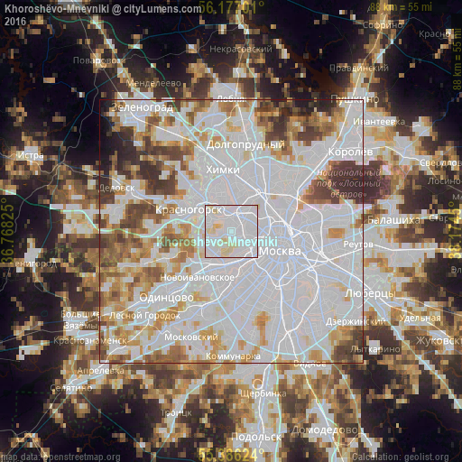
Analysis of Khoroshëvo-Mnevniki night lights 2016
Square area 10x10 km:
 70.22%
90-99
22.61%80-89
7.06%70-79
0.12%60-69
0%50-59
0%40-49
0%30-39
0%20-29
0%10-19
0%0-9
0%Square area 50x50 km:
43.34%90-99
19.98%80-89
6.02%70-79
6.48%60-69
6.46%50-59
4.78%40-49
4.63%30-39
4.33%20-29
2.68%10-19
1.05%0-9
0.25%Clear (daylight) street map image can be seen on geolist.org.
Map coordinates:
56° 10' 37.2" North, 36° 46' 5.7" East
55° 47' 1.1" North, 37° 28' 16.9" East
55° 23' 10.5" North, 38° 10' 28.2" East
Some cities around Khoroshëvo-Mnevniki sort by population:
• Strogino
5.3 km =3.3 mi,  316°
316°
• Presnenskiy
6.2 km =3.9 mi,  127°
127°
• Shchukino
2.3 km =1.4 mi, 323°
• Fili
4 km =2.5 mi,  172°
172°
• Dorogomilovo
7 km =4.3 mi,  122°
122°
• Sokol
3.4 km =2.1 mi,  57°
57°
• Pokrovskoye-Streshnëvo
2.8 km =1.7 mi,  343°
343°
• Koptëvo
4.6 km =2.9 mi,  37°
37°
549479 (p: 159,000)
Sources (retrieved 2019-11-25):
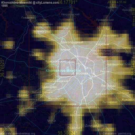
» NASA, Earths city lights 1995
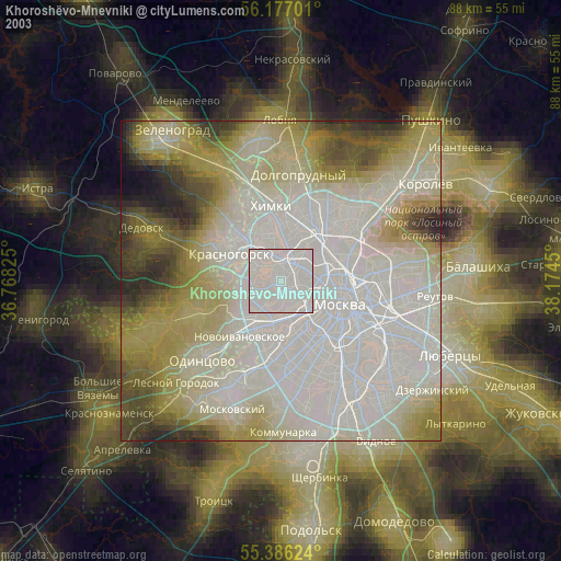
» NASA city lights 2003
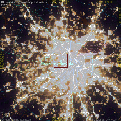
» Earth at Night: Flat Maps 2012, 2016