Klimavichy night lights from space
Night Light of Klimavichy (Mogilev) from space (Belarus) Src. Average luminocity for 10x10km area is 0.0568% and for 50x50km: 0.0316%.
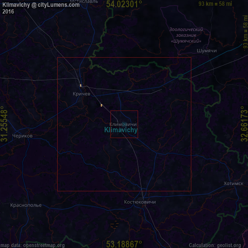
Analysis of Klimavichy night lights 2016
Square area 10x10 km:
 0%
0%90-99
0%80-89
0%70-79
0%60-69
0%50-59
0%40-49
0%30-39
0%20-29
0%10-19
0.25%0-9
99.75%Square area 50x50 km:
0%90-99
0%80-89
0%70-79
0.02%60-69
0.02%50-59
0%40-49
0%30-39
0%20-29
0%10-19
0.01%0-9
99.95%Clear (daylight) street map image can be seen on geolist.org.
Map coordinates:
54° 1' 22.8" North, 31° 15' 19.7" East
53° 36' 28.4" North, 31° 57' 31" East
53° 11' 19.2" North, 32° 39' 42.2" East
Some cities around Klimavichy sort by population:
• Roslavl’, RU
70.8 km =44 mi,  57°
57°
• Krychaw
19.7 km =12.2 mi,  306°
306°
• Kastsyukovichy
29.1 km =18.1 mi,  167°
167°
• Mstsislaw
48.2 km =30 mi,  341°
341°
• Chavusy
68.7 km =42.7 mi,  289°
289°
• Slawharad
65.9 km =40.9 mi,  253°
253°
• Cherykaw
38.2 km =23.7 mi,  263°
263°
• Krasnapollye
47.8 km =29.7 mi,  230°
230°
627202 (p: 14,951)
Sources (retrieved 2019-11-25):
» Earth at Night: Flat Maps 2012, 2016