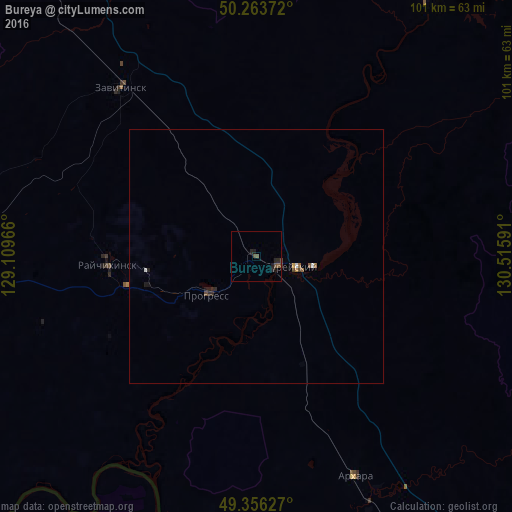
Bureya night lights from space
Night Light of Bureya (Amur Oblast) from space (Russia) Src. Average luminocity for 10x10km area is 2.2447% and for 50x50km: 0.3639%.
Analysis of Bureya night lights 2016
Square area 10x10 km:
 0%
0%90-99
0%80-89
0%70-79
0%60-69
0%50-59
1.34%40-49
1.07%30-39
0.27%20-29
2.27%10-19
1.47%0-9
93.58%Square area 50x50 km:
0.04%90-99
0.02%80-89
0%70-79
0.04%60-69
0.04%50-59
0.1%40-49
0.12%30-39
0.03%20-29
0.2%10-19
0.17%0-9
99.23%Clear (daylight) street map image can be seen on geolist.org.
Map coordinates:
50° 15' 49.4" North, 129° 6' 34.8" East
49° 48' 43.6" North, 129° 48' 46" East
49° 21' 22.6" North, 130° 30' 57.3" East
Some cities around Bureya sort by population:
• Raychikhinsk
29 km =18 mi,  265°
265°
• Zavitinsk
42.6 km =26.5 mi,  321°
321°
• Arkhara
47.4 km =29.5 mi,  155°
155°
• Yekaterinoslavka
80.1 km =49.8 mi, 321°
• Novobureyskiy
4.7 km =2.9 mi,  110°
110°
• Tambovka
129.6 km =80.5 mi,  284°
284°
• Poyarkovo
85.8 km =53.3 mi,  256°
256°
• Talakan
59.8 km =37.2 mi,  32°
32°
2025917 (p: 5,383)
Sources (retrieved 2019-11-25):
» Earth at Night: Flat Maps 2012, 2016