Plavsk night lights from space
Night Light of Plavsk (Tula) from space (Russia) Src. Average luminocity for 10x10km area is 3.7891% and for 50x50km: 0.2167%.
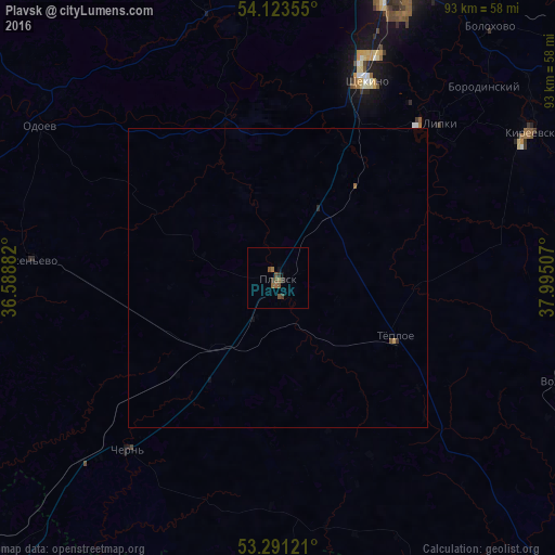
Analysis of Plavsk night lights 2016
Square area 10x10 km:
 0%
0%90-99
0%80-89
0%70-79
0%60-69
1.01%50-59
2.02%40-49
1.52%30-39
2.02%20-29
0%10-19
1.01%0-9
92.42%Square area 50x50 km:
0%90-99
0%80-89
0.01%70-79
0.02%60-69
0.06%50-59
0.1%40-49
0.06%30-39
0.1%20-29
0.02%10-19
0.07%0-9
99.56%Clear (daylight) street map image can be seen on geolist.org.
Map coordinates:
54° 7' 24.8" North, 36° 35' 19.8" East
53° 42' 34" North, 37° 17' 31" East
53° 17' 28.4" North, 37° 59' 42.3" East
Some cities around Plavsk sort by population:
• Shchëkino
36.2 km =22.5 mi,  24°
24°
• Kosaya Gora
48.4 km =30.1 mi, 19°
• Skuratovskiy
48.1 km =29.9 mi,  25°
25°
• Pervomayskiy
39.9 km =24.8 mi, 20°
• Chern’
37.9 km =23.5 mi,  221°
221°
• Borodinskiy
47.2 km =29.3 mi,  47°
47°
• Odoyev
47.3 km =29.4 mi,  302°
302°
• Tëploye
22 km =13.7 mi,  116°
116°
509052 (p: 16,763)
Sources (retrieved 2019-11-25):
» Earth at Night: Flat Maps 2012, 2016