Borodinskiy night lights from space
Night Light of Borodinskiy (Tula) from space (Russia) Src. Average luminocity for 10x10km area is 0.0202% and for 50x50km: 6.8663%.
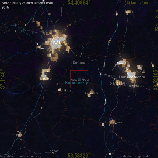
Analysis of Borodinskiy night lights 2016
Square area 10x10 km:
 0%
0%90-99
0%80-89
0%70-79
0%60-69
0%50-59
0%40-49
0%30-39
0%20-29
0%10-19
0%0-9
100%Square area 50x50 km:
0.86%90-99
1.2%80-89
0.87%70-79
0.96%60-69
0.7%50-59
1.15%40-49
0.88%30-39
1.15%20-29
1.47%10-19
4.46%0-9
86.3%Clear (daylight) street map image can be seen on geolist.org.
Map coordinates:
54° 24' 35.4" North, 37° 6' 53.3" East
53° 59' 54.9" North, 37° 49' 4.5" East
53° 34' 59.6" North, 38° 31' 15.8" East
Some cities around Borodinskiy sort by population:
• Shchëkino
19.4 km =12.1 mi,  272°
272°
• Kireyevsk
10.2 km =6.3 mi,  135°
135°
• Skuratovskiy
18.1 km =11.2 mi,  309°
309°
• Pervomayskiy
20.8 km =12.9 mi,  284°
284°
• Bolokhovo
9.5 km =5.9 mi,  4°
4°
• Mendeleyevskiy
21.6 km =13.4 mi,  315°
315°
• Dubovka
16.8 km =10.4 mi,  107°
107°
• Shvartsevskiy
15.3 km =9.5 mi,  47°
47°
572256 (p: 6,447)
Sources (retrieved 2019-11-25):
» Earth at Night: Flat Maps 2012, 2016