Kosaya Gora night lights from space
Night Light of Kosaya Gora (Tula) from space (Russia) Src. Average luminocity for 10x10km area is 29.2854% and for 50x50km: 6.9731%.
Analysis of Kosaya Gora night lights 2016
Square area 10x10 km:
 1.52%
1.52%90-99
3.03%80-89
4.55%70-79
3.28%60-69
2.27%50-59
8.21%40-49
7.45%30-39
8.59%20-29
6.31%10-19
25.38%0-9
29.42%Square area 50x50 km:
0.79%90-99
1.1%80-89
0.88%70-79
1%60-69
0.73%50-59
1.16%40-49
0.99%30-39
1.28%20-29
1.95%10-19
4.83%0-9
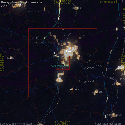
85.29%Clear (daylight) street map image can be seen on geolist.org.
Map coordinates:
54° 31' 44.5" North, 36° 50' 29.3" East
54° 7' 8.3" North, 37° 32' 40.5" East
53° 42' 17.3" North, 38° 14' 51.8" East
Some cities around Kosaya Gora sort by population:
• Tula
9.8 km =6.1 mi,  29°
29°
• Shchëkino
12.7 km =7.9 mi,  186°
186°
• Skuratovskiy
4.3 km =2.7 mi,  116°
116°
• Pervomayskiy
8.6 km =5.3 mi,  195°
195°
• Bolokhovo
18.9 km =11.7 mi,  101°
101°
• Leninskiy
19.6 km =12.2 mi,  343°
343°
• Mendeleyevskiy
3.5 km =2.2 mi,  53°
53°
• Gorelki
15.9 km =9.9 mi,  15°
15°
544293 (p: 17,836)
Sources (retrieved 2019-11-25):
» Earth at Night: Flat Maps 2012, 2016