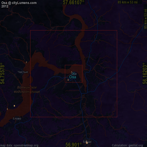
Osa night lights from space
Night Light of Osa (Perm) from space (Russia) Src. Average luminocity for 10x10km area is 3.3511% and for 50x50km: 0.3383%.
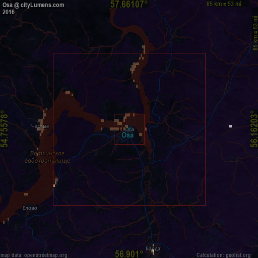
Analysis of Osa night lights 2016
Square area 10x10 km:
100  0%
0%
90-99 0%
80-89 0%
70-79 0%
60-69 0%
50-59 0%
40-49 0%
30-39 5.11%
20-29 5.11%
10-19 0%
0-9 89.77%
0%90-99
0%80-89
0%70-79
0%60-69
0%50-59
0%40-49
0%30-39
5.11%20-29
5.11%10-19
0%0-9
89.77%Square area 50x50 km:
100 0%
90-99 0%
80-89 0%
70-79 0%
60-69 0.01%
50-59 0%
40-49 0%
30-39 0.52%
20-29 0.45%
10-19 0%
0-9 99.01%
0%90-99
0%80-89
0%70-79
0%60-69
0.01%50-59
0%40-49
0%30-39
0.52%20-29
0.45%10-19
0%0-9
99.01%Clear (daylight) street map image can be seen on geolist.org.
Map coordinates:
57° 39' 39.9" North, 54° 45' 20.8" East
57° 16' 58.8" North, 55° 27' 32" East
56° 54' 3.6" North, 56° 9' 43.3" East
Some cities around Osa sort by population:
• Nytva
73.8 km =45.9 mi,  354°
354°
• Ochër
80.6 km =50.1 mi,  326°
326°
• Zvëzdnyy
71.5 km =44.4 mi,  45°
45°
• Barda
40.3 km =25 mi,  168°
168°
• Okhansk
48.8 km =30.3 mi,  355°
355°
• Yugo-Kamskiy
47.3 km =29.4 mi,  9°
9°
• Kondratovo
86.6 km =53.8 mi,  26°
26°
• Yelovo
41.3 km =25.7 mi,  231°
231°
514706 (p: 23,292)
Sources (retrieved 2019-11-25):
» Earth at Night: Flat Maps 2012, 2016