Kondratovo night lights from space
Night Light of Kondratovo (Perm) from space (Russia) Src. Average luminocity for 10x10km area is 66.5988% and for 50x50km: 17.4977%.
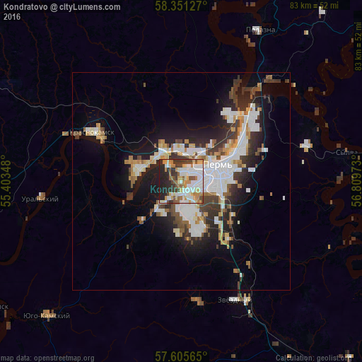
Analysis of Kondratovo night lights 2016
Square area 10x10 km:
 19.64%
90-99
15.95%80-89
7.5%70-79
8.57%60-69
9.4%50-59
5.48%40-49
5.6%30-39
8.93%20-29
14.17%10-19
4.76%0-9
0%Square area 50x50 km:
4.3%90-99
3.9%80-89
1.53%70-79
1.58%60-69
1.64%50-59
1.81%40-49
1.94%30-39
2.88%20-29
4.35%10-19
8.51%0-9
67.56%Clear (daylight) street map image can be seen on geolist.org.
Map coordinates:
58° 21' 4.6" North, 55° 24' 12.5" East
57° 58' 49.4" North, 56° 6' 23.8" East
57° 36' 20.3" North, 56° 48' 35" East
Some cities around Kondratovo sort by population:
• Perm
9.1 km =5.7 mi,  68°
68°
• Krasnokamsk
23.4 km =14.5 mi,  298°
298°
• Nytva
45.4 km =28.2 mi,  264°
264°
• Polazna
39.1 km =24.3 mi,  27°
27°
• Zvëzdnyy
30.2 km =18.8 mi,  155°
155°
• Novyye Lyady
30.8 km =19.1 mi, 74°
• Yugo-Kamskiy
43.4 km =27 mi,  224°
224°
• Sylva
39.6 km =24.6 mi,  81°
81°
829032 (p: 5,594)
Sources (retrieved 2019-11-25):
» Earth at Night: Flat Maps 2012, 2016