Norilsk night lights from space
Night Light of Norilsk (Krasnoyarskiy) from space (Russia) Src. Average luminocity for 10x10km area is 46.9555% and for 50x50km: 4.9092%.
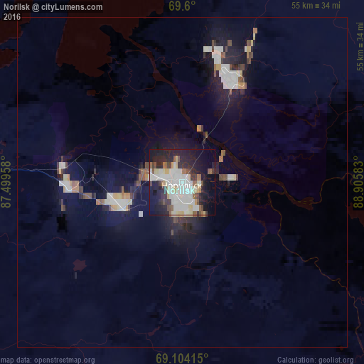
Analysis of Norilsk night lights 2016
Square area 10x10 km:
 11.52%
90-99
14.29%80-89
5.91%70-79
1.77%60-69
3.38%50-59
3.76%40-49
4.45%30-39
5.45%20-29
13.52%10-19
21.89%0-9
14.06%Square area 50x50 km:
0.83%90-99
1.15%80-89
0.43%70-79
0.29%60-69
0.39%50-59
0.43%40-49
0.58%30-39
0.51%20-29
1.33%10-19
4.54%0-9
89.5%Clear (daylight) street map image can be seen on geolist.org.
Map coordinates:
69° 36' 0" North, 87° 29' 58.5" East
69° 21' 12.6" North, 88° 12' 9.7" East
69° 6' 14.9" North, 88° 54' 21" East
Some cities around Norilsk sort by population:
• Novyy Urengoy
606.8 km =377 mi,  233°
233°
• Talnakh
16.6 km =10.3 mi,  27°
27°
• Kayyerkan
18.2 km =11.3 mi,  278°
278°
• Dudinka
79.5 km =49.4 mi,  274°
274°
• Urengoy
559.8 km =347.8 mi, 227°
• Igarka
219.9 km =136.6 mi,  197°
197°
• Korotchaevo
569.2 km =353.7 mi, 227°
• Tazovsky
440.3 km =273.6 mi,  241°
241°
1497337 (p: 140,800)
Sources (retrieved 2019-11-25):
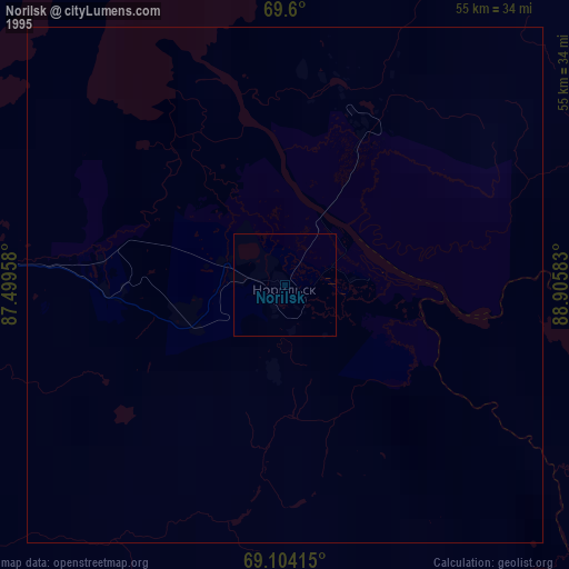
» NASA, Earths city lights 1995
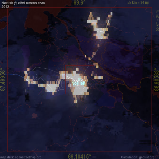
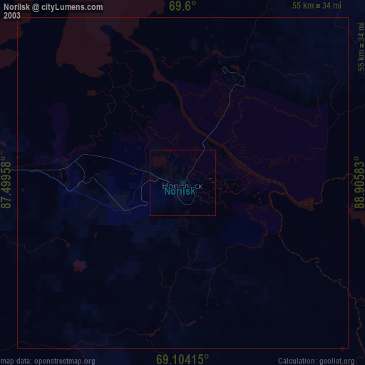
» NASA city lights 2003
» Earth at Night: Flat Maps 2012, 2016