Muromtsevo night lights from space
Night Light of Muromtsevo (Omsk) from space (Russia) Src. Average luminocity for 10x10km area is 0% and for 50x50km: 0%.
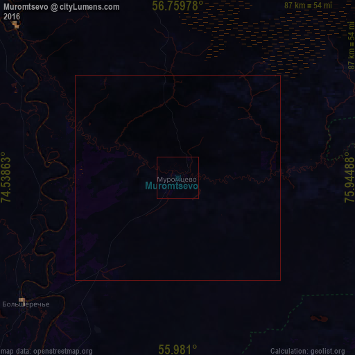
Analysis of Muromtsevo night lights 2016
Square area 10x10 km:
 0%
0%90-99
0%80-89
0%70-79
0%60-69
0%50-59
0%40-49
0%30-39
0%20-29
0%10-19
0%0-9
100%Square area 50x50 km:
0%90-99
0%80-89
0%70-79
0%60-69
0%50-59
0%40-49
0%30-39
0%20-29
0%10-19
0%0-9
100%Clear (daylight) street map image can be seen on geolist.org.
Map coordinates:
56° 45' 35.2" North, 74° 32' 19.1" East
56° 22' 20.6" North, 75° 14' 30.3" East
55° 58' 51.6" North, 75° 56' 41.6" East
Some cities around Muromtsevo sort by population:
• Tara
78.8 km =49 mi,  317°
317°
• Tatarsk
136.3 km =84.7 mi,  160°
160°
• Znamenskoye
120.4 km =74.8 mi,  314°
314°
• Bol’sherech’ye
49.1 km =30.5 mi,  230°
230°
• Vengerovo
120.8 km =75.1 mi,  129°
129°
• Kolosovka
100.8 km =62.6 mi,  276°
276°
• Kyshtovka
87.5 km =54.4 mi,  76°
76°
• Nizhnyaya Omka
106 km =65.9 mi,  190°
190°
1498205 (p: 11,147)
Sources (retrieved 2019-11-25):
» Earth at Night: Flat Maps 2012, 2016