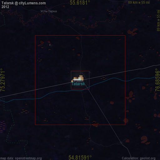
Tatarsk night lights from space
Night Light of Tatarsk (Novosibirsk Oblast) from space (Russia) Src. Average luminocity for 10x10km area is 14.8333% and for 50x50km: 0.5979%.
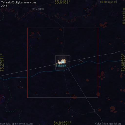
Analysis of Tatarsk night lights 2016
Square area 10x10 km:
 2.76%
2.76%90-99
2.76%80-89
1%70-79
1.63%60-69
1.38%50-59
2.88%40-49
1.13%30-39
0.88%20-29
0.63%10-19
8.02%0-9
76.94%Square area 50x50 km:
0.11%90-99
0.11%80-89
0.04%70-79
0.06%60-69
0.05%50-59
0.11%40-49
0.04%30-39
0.03%20-29
0.02%10-19
0.31%0-9
99.11%Clear (daylight) street map image can be seen on geolist.org.
Map coordinates:
55° 37' 5.2" North, 75° 16' 47" East
55° 13' 8.5" North, 75° 58' 58.2" East
54° 48' 57.3" North, 76° 41' 9.5" East
Some cities around Tatarsk sort by population:
• Kalachinsk
91.4 km =56.8 mi,  258°
258°
• Kupino
126.9 km =78.9 mi,  138°
138°
• Bol’sherech’ye
129.1 km =80.2 mi,  318°
318°
• Kormilovka
122 km =75.8 mi, 258°
• Chany
50.6 km =31.4 mi,  78°
78°
• Vengerovo
70.7 km =43.9 mi,  42°
42°
• Okoneshnikovo
71.3 km =44.3 mi,  233°
233°
• Nizhnyaya Omka
70 km =43.5 mi,  289°
289°
1490003 (p: 25,150)
Sources (retrieved 2019-11-25):
» Earth at Night: Flat Maps 2012, 2016