Bol’sherech’ye night lights from space
Night Light of Bol’sherech’ye (Omsk) from space (Russia) Src. Average luminocity for 10x10km area is 1.0251% and for 50x50km: 0.0409%.
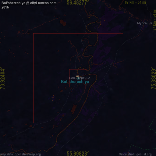
Analysis of Bol’sherech’ye night lights 2016
Square area 10x10 km:
 0%
0%90-99
0%80-89
0%70-79
0%60-69
0.36%50-59
0.12%40-49
0.72%30-39
0.72%20-29
0%10-19
0%0-9
98.09%Square area 50x50 km:
0%90-99
0%80-89
0%70-79
0%60-69
0.01%50-59
0%40-49
0.03%30-39
0.03%20-29
0%10-19
0%0-9
99.92%Clear (daylight) street map image can be seen on geolist.org.
Map coordinates:
56° 28' 58" North, 73° 55' 26.5" East
56° 5' 33.1" North, 74° 37' 37.8" East
55° 41' 53.8" North, 75° 19' 49" East
Some cities around Bol’sherech’ye sort by population:
• Tara
90.5 km =56.2 mi,  349°
349°
• Kalachinsk
115.6 km =71.8 mi,  181°
181°
• Znamenskoye
125.1 km =77.7 mi,  336°
336°
• Muromtsevo
49.1 km =30.5 mi,  50°
50°
• Sargatskoye
88.6 km =55.1 mi,  232°
232°
• Krutaya Gorka
119.5 km =74.3 mi, 227°
• Kolosovka
75.3 km =46.8 mi,  303°
303°
• Nizhnyaya Omka
75.9 km =47.2 mi,  164°
164°
1509494 (p: 12,072)
Sources (retrieved 2019-11-25):
» Earth at Night: Flat Maps 2012, 2016