Mosrentgen night lights from space
Night Light of Mosrentgen (Moscow Oblast) from space (Russia) Src. Average luminocity for 10x10km area is 95.7406% and for 50x50km: 77.7694%.
Analysis of Mosrentgen night lights 2016
Square area 10x10 km:
 53.88%
90-99
29.2%80-89
8.02%70-79
8.65%60-69
0.25%50-59
0%40-49
0%30-39
0%20-29
0%10-19
0%0-9
0%Square area 50x50 km:
36.29%90-99
17.19%80-89
6.39%70-79
7.82%60-69
7.38%50-59
6.08%40-49
5.8%30-39
4.38%20-29
3.85%10-19
2.45%0-9
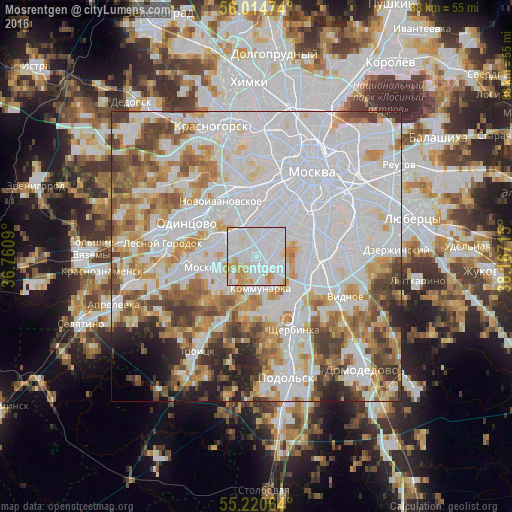
2.38%Clear (daylight) street map image can be seen on geolist.org.
Map coordinates:
56° 0' 53.1" North, 36° 45' 39.2" East
55° 37' 10.9" North, 37° 27' 50.5" East
55° 13' 14.3" North, 38° 10' 1.7" East
Some cities around Mosrentgen sort by population:
• Yasenevo
3.8 km =2.4 mi,  112°
112°
• Tyoply Stan
1.8 km =1.1 mi,  87°
87°
• Solntsevo
5.6 km =3.5 mi,  290°
290°
• Troparëvo
4.3 km =2.7 mi,  17°
17°
• Nikol’skoye
7.2 km =4.5 mi,  9°
9°
• Nikulino
5.5 km =3.4 mi,  1°
1°
• Vostryakovo
5.3 km =3.3 mi,  350°
350°
• Moskovskiy
7.2 km =4.5 mi,  251°
251°
6417535 (p: 5,214)
Sources (retrieved 2019-11-25):
» Earth at Night: Flat Maps 2012, 2016