Troparëvo night lights from space
Night Light of Troparëvo (Moscow) from space (Russia) Src. Average luminocity for 10x10km area is 98.3517% and for 50x50km: 80.2003%.
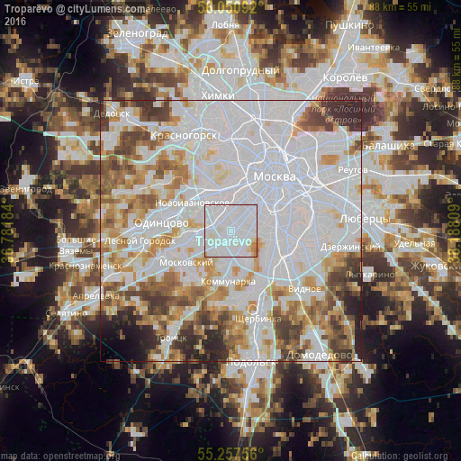
Analysis of Troparëvo night lights 2016
Square area 10x10 km:
 74.76%
90-99
19.74%80-89
3.11%70-79
1.91%60-69
0.48%50-59
0%40-49
0%30-39
0%20-29
0%10-19
0%0-9
0%Square area 50x50 km:
39.1%90-99
17.93%80-89
6.15%70-79
7.51%60-69
7.19%50-59
5.6%40-49
5.23%30-39
4.74%20-29
3.8%10-19
1.6%0-9
1.14%Clear (daylight) street map image can be seen on geolist.org.
Map coordinates:
56° 3' 3.3" North, 36° 46' 54.6" East
55° 39' 22.5" North, 37° 29' 5.9" East
55° 15' 27.2" North, 38° 11' 17.1" East
Some cities around Troparëvo sort by population:
• Tyoply Stan
4 km =2.5 mi,  172°
172°
• Ochakovo-Matveyevskoye
3.9 km =2.4 mi,  322°
322°
• Cherëmushki
4.9 km =3 mi,  78°
78°
• Nikol’skoye
3 km =1.9 mi,  358°
358°
• Mikhalkovo
4.4 km =2.7 mi,  312°
312°
• Vostryakovo
2.5 km =1.6 mi,  297°
297°
• Nikulino
1.9 km =1.2 mi, 320°
• Mosrentgen
4.3 km =2.7 mi,  197°
197°
481453 (p: 118,000)
Sources (retrieved 2019-11-25):
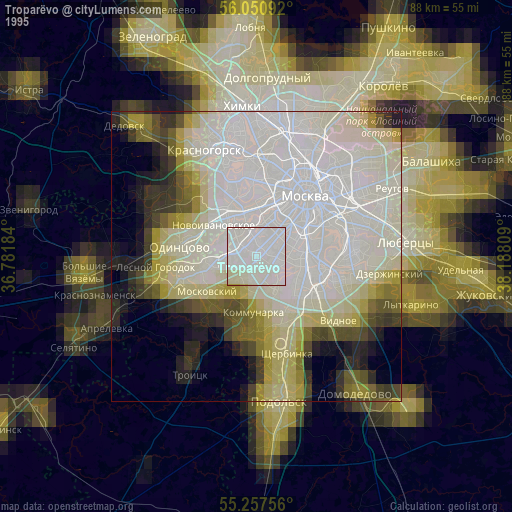
» NASA, Earths city lights 1995
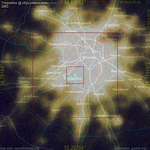
» NASA city lights 2003
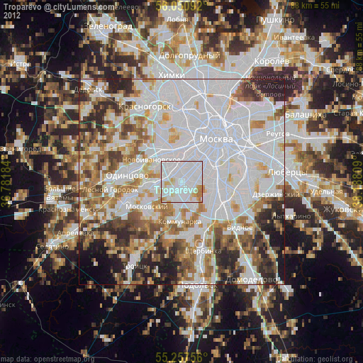
» Earth at Night: Flat Maps 2012, 2016