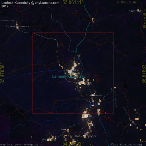
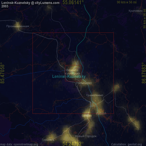
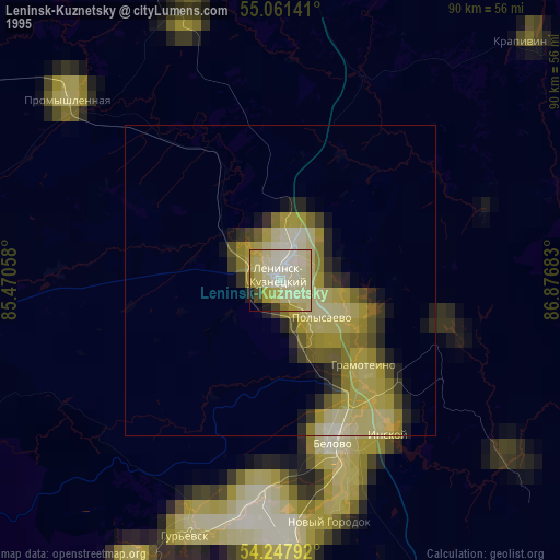
Leninsk-Kuznetsky night lights from space
Night Light of Leninsk-Kuznetsky (Kemerovo Oblast) from space (Russia) Src. Average luminocity for 10x10km area is 56.2519% and for 50x50km: 8.9386%.
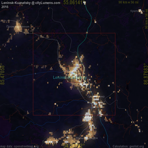
Analysis of Leninsk-Kuznetsky night lights 2016
Square area 10x10 km:
 6.52%
6.52%90-99
10.53%80-89
7.52%70-79
8.27%60-69
14.04%50-59
11.03%40-49
6.52%30-39
14.79%20-29
11.65%10-19
8.27%0-9
0.88%Square area 50x50 km:
0.86%90-99
1.18%80-89
0.75%70-79
0.87%60-69
1.48%50-59
1.95%40-49
1.58%30-39
1.67%20-29
3.67%10-19
6.6%0-9
79.39%Clear (daylight) street map image can be seen on geolist.org.
Map coordinates:
55° 3' 41.1" North, 85° 28' 14.1" East
54° 39' 24.1" North, 86° 10' 25.3" East
54° 14' 52.5" North, 86° 52' 36.6" East
Some cities around Leninsk-Kuznetsky sort by population:
• Belovo
27.9 km =17.3 mi,  163°
163°
• Polysayevo
7.7 km =4.8 mi,  143°
143°
• Gur’yevsk
44.3 km =27.5 mi,  200°
200°
• Promyshlennaya
44.8 km =27.8 mi,  310°
310°
• Bachatskiy
40.6 km =25.2 mi,  184°
184°
• Gramoteino
19 km =11.8 mi,  134°
134°
• Inskoy
30.5 km =19 mi,  145°
145°
• Salair
53.2 km =33.1 mi,  207°
207°
1500665 (p: 109,023)
Sources (retrieved 2019-11-25):
» NASA, Earths city lights 1995
» NASA city lights 2003
» Earth at Night: Flat Maps 2012, 2016