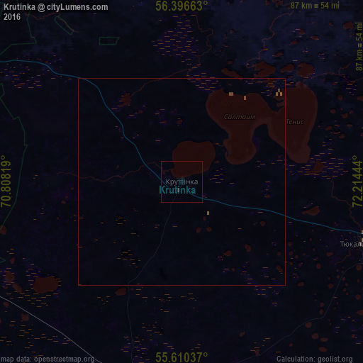
Krutinka night lights from space
Night Light of Krutinka (Omsk) from space (Russia) Src. Average luminocity for 10x10km area is 0.203% and for 50x50km: 0.0702%.
Analysis of Krutinka night lights 2016
Square area 10x10 km:
 0%
0%90-99
0%80-89
0%70-79
0%60-69
0%50-59
0%40-49
0%30-39
0%20-29
0.5%10-19
0.25%0-9
99.25%Square area 50x50 km:
0%90-99
0%80-89
0%70-79
0%60-69
0%50-59
0%40-49
0.07%30-39
0.06%20-29
0.02%10-19
0.01%0-9
99.84%Clear (daylight) street map image can be seen on geolist.org.
Map coordinates:
56° 23' 47.9" North, 70° 48' 29.5" East
56° 0' 19.8" North, 71° 30' 40.7" East
55° 36' 37.3" North, 72° 12' 52" East
Some cities around Krutinka sort by population:
• Ishim
126 km =78.3 mi,  275°
275°
• Nazyvayevsk
49.5 km =30.8 mi,  191°
191°
• Tyukalinsk
45.1 km =28 mi,  109°
109°
• Lyubinskiy
120.3 km =74.8 mi,  141°
141°
• Abatskoye
72.5 km =45 mi,  295°
295°
• Vikulovo
105.8 km =65.7 mi,  328°
328°
• Rostovka
73 km =45.4 mi,  161°
161°
• Krasnyy Yar
122.8 km =76.3 mi,  133°
133°
1501690 (p: 7,752)
Sources (retrieved 2019-11-25):
» Earth at Night: Flat Maps 2012, 2016