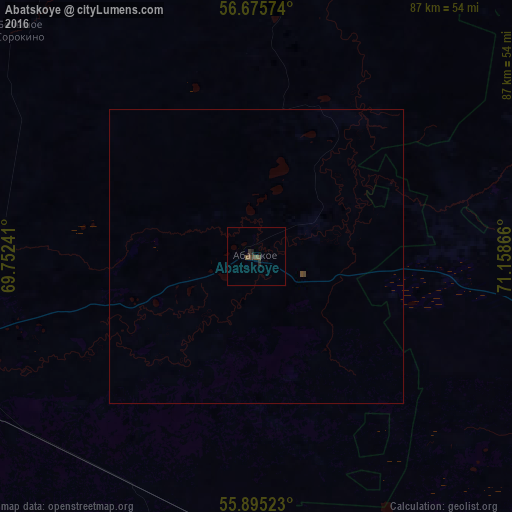
Abatskoye night lights from space
Night Light of Abatskoye (Tyumen’ Oblast) from space (Russia) Src. Average luminocity for 10x10km area is 1.6341% and for 50x50km: 0.0803%.
Analysis of Abatskoye night lights 2016
Square area 10x10 km:
 0%
0%90-99
0%80-89
0%70-79
0%60-69
0%50-59
1.25%40-49
0.75%30-39
0.88%20-29
0.75%10-19
0.38%0-9
95.99%Square area 50x50 km:
0%90-99
0%80-89
0%70-79
0%60-69
0%50-59
0.05%40-49
0.07%30-39
0.03%20-29
0.03%10-19
0.01%0-9
99.81%Clear (daylight) street map image can be seen on geolist.org.
Map coordinates:
56° 40' 32.7" North, 69° 45' 8.7" East
56° 17' 14.9" North, 70° 27' 19.9" East
55° 53' 42.8" North, 71° 9' 31.2" East
Some cities around Abatskoye sort by population:
• Ishim
62.8 km =39 mi,  251°
251°
• Golyshmanovo
128.9 km =80.1 mi,  275°
275°
• Nazyvayevsk
97.4 km =60.5 mi,  144°
144°
• Tyukalinsk
117.4 km =72.9 mi,  113°
113°
• Krutinka
72.5 km =45 mi,  115°
115°
• Vikulovo
59.6 km =37 mi,  9°
9°
• Kazanskoye
104.3 km =64.8 mi,  226°
226°
• Aromashevo
128.3 km =79.7 mi,  299°
299°
1512210 (p: 8,195)
Sources (retrieved 2019-11-25):
» Earth at Night: Flat Maps 2012, 2016