Kropotkin night lights from space
Night Light of Kropotkin (Krasnodarskiy) from space (Russia) Src. Average luminocity for 10x10km area is 31.4968% and for 50x50km: 3.3439%.
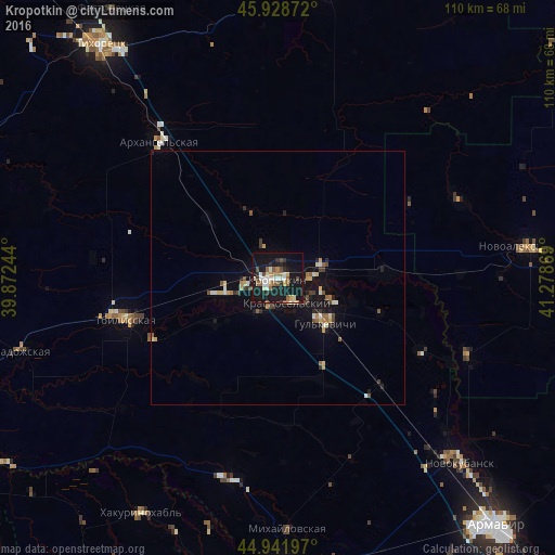
Analysis of Kropotkin night lights 2016
Square area 10x10 km:
 4.44%
4.44%90-99
5.71%80-89
2.7%70-79
2.7%60-69
4.13%50-59
5.4%40-49
3.33%30-39
3.17%20-29
3.97%10-19
51.11%0-9
13.33%Square area 50x50 km:
0.27%90-99
0.52%80-89
0.31%70-79
0.43%60-69
0.34%50-59
0.48%40-49
0.5%30-39
0.41%20-29
0.47%10-19
3.8%0-9
92.48%Clear (daylight) street map image can be seen on geolist.org.
Map coordinates:
45° 55' 43.4" North, 39° 52' 20.8" East
45° 26' 15" North, 40° 34' 32" East
44° 56' 31.1" North, 41° 16' 43.3" East
Some cities around Kropotkin sort by population:
• Gul’kevichi
13.2 km =8.2 mi,  135°
135°
• Tbilisskaya
31.2 km =19.4 mi,  254°
254°
• Kavkazskaya
7.9 km =4.9 mi,  83°
83°
• Kazanskaya
11.3 km =7 mi, 254°
• Girey
7.6 km =4.7 mi,  121°
121°
• Temizhbekskaya
21 km =13 mi,  87°
87°
• Novoukrainskoye
7.5 km =4.7 mi,  208°
208°
• Rasshevatskaya
38.9 km =24.2 mi,  66°
66°
540761 (p: 79,599)
Sources (retrieved 2019-11-25):
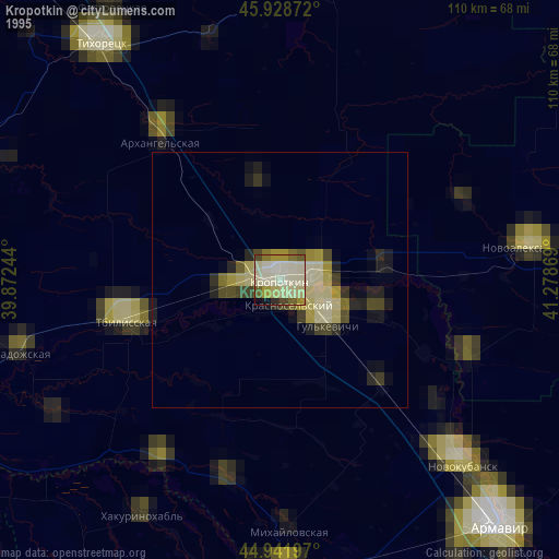
» NASA, Earths city lights 1995
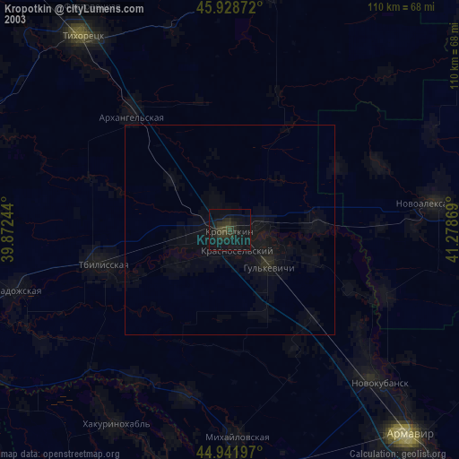
» NASA city lights 2003
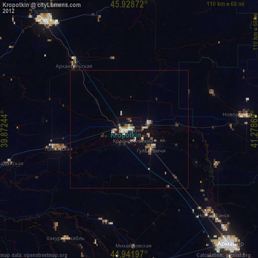
» Earth at Night: Flat Maps 2012, 2016