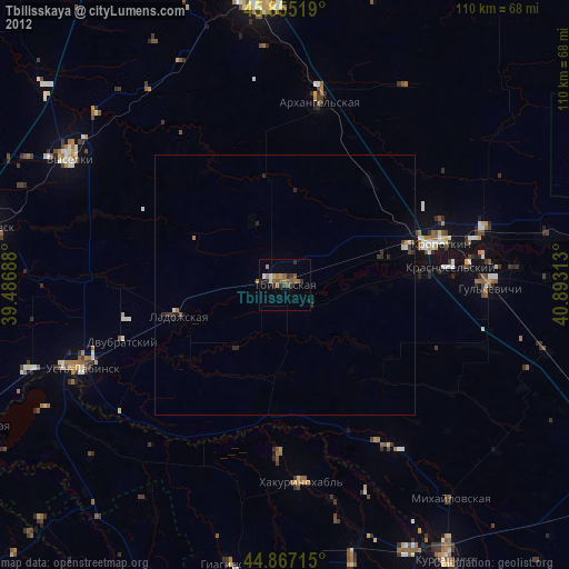
Tbilisskaya night lights from space
Night Light of Tbilisskaya (Krasnodarskiy) from space (Russia) Src. Average luminocity for 10x10km area is 14.9111% and for 50x50km: 1.3703%.
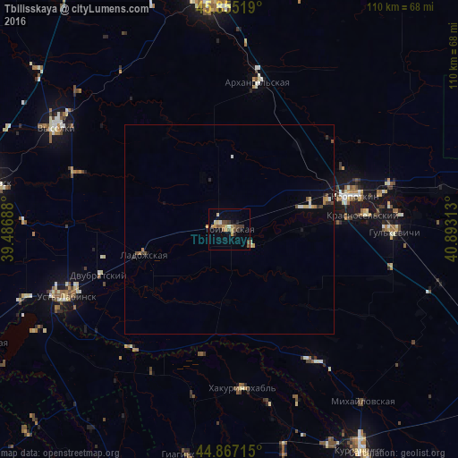
Analysis of Tbilisskaya night lights 2016
Square area 10x10 km:
 0.32%
0.32%90-99
1.11%80-89
2.22%70-79
3.33%60-69
1.27%50-59
3.49%40-49
3.49%30-39
2.54%20-29
1.27%10-19
2.86%0-9
78.1%Square area 50x50 km:
0.04%90-99
0.17%80-89
0.19%70-79
0.24%60-69
0.15%50-59
0.24%40-49
0.25%30-39
0.17%20-29
0.16%10-19
0.46%0-9
97.94%Clear (daylight) street map image can be seen on geolist.org.
Map coordinates:
45° 51' 18.7" North, 39° 29' 12.8" East
45° 21' 48" North, 40° 11' 24" East
44° 52' 1.7" North, 40° 53' 35.3" East
Some cities around Tbilisskaya sort by population:
• Kropotkin
31.2 km =19.4 mi,  74°
74°
• Ladozhskaya
20.6 km =12.8 mi,  252°
252°
• Kazanskaya
19.9 km =12.4 mi, 74°
• Dvubratskiy
33.1 km =20.6 mi, 245°
• Temirgoyevskaya
28.6 km =17.8 mi,  165°
165°
• Girey
36.8 km =22.9 mi,  83°
83°
• Petropavlovskaya
37.4 km =23.2 mi,  146°
146°
• Novoukrainskoye
26.6 km =16.5 mi,  86°
86°
483883 (p: 24,446)
Sources (retrieved 2019-11-25):
» Earth at Night: Flat Maps 2012, 2016