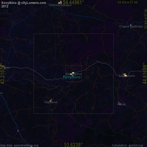
Kovylkino night lights from space
Night Light of Kovylkino (Mordoviya Republic) from space (Russia) Src. Average luminocity for 10x10km area is 4.0341% and for 50x50km: 0.2525%.
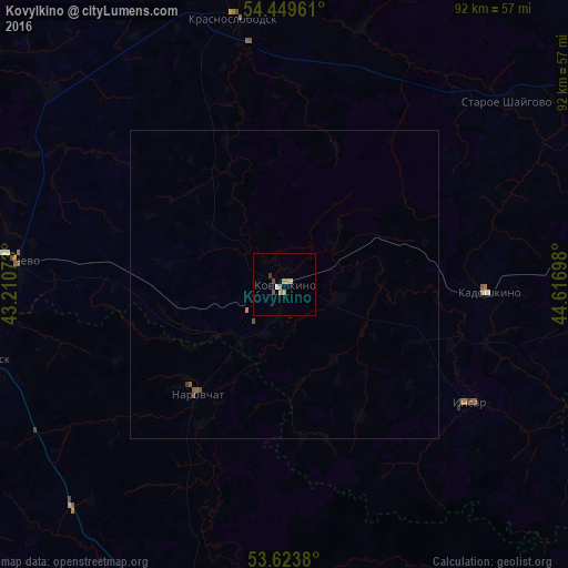
Analysis of Kovylkino night lights 2016
Square area 10x10 km:
 0.25%
0.25%90-99
0.25%80-89
0.51%70-79
1.52%60-69
0.51%50-59
1.01%40-49
0.76%30-39
0.25%20-29
0%10-19
0%0-9
94.95%Square area 50x50 km:
0.01%90-99
0.01%80-89
0.02%70-79
0.08%60-69
0.03%50-59
0.1%40-49
0.09%30-39
0.03%20-29
0%10-19
0%0-9
99.64%Clear (daylight) street map image can be seen on geolist.org.
Map coordinates:
54° 26' 58.6" North, 43° 12' 38.6" East
54° 2' 19.5" North, 43° 54' 49.9" East
53° 37' 25.7" North, 44° 37' 1.1" East
Some cities around Kovylkino sort by population:
• Ruzayevka
67.8 km =42.1 mi,  87°
87°
• Nizhniy Lomov
58.6 km =36.4 mi,  195°
195°
• Krasnoslobodsk
43.7 km =27.2 mi,  349°
349°
• Zubova Polyana
70.4 km =43.7 mi,  273°
273°
• Torbeyevo
43.7 km =27.2 mi,  275°
275°
• Insar
35.7 km =22.2 mi,  122°
122°
• Spassk
49.4 km =30.7 mi,  255°
255°
• Issa
64.5 km =40.1 mi,  106°
106°
543436 (p: 21,400)
Sources (retrieved 2019-11-25):
» Earth at Night: Flat Maps 2012, 2016