Kizlyar night lights from space
Night Light of Kizlyar (Dagestan) from space (Russia) Src. Average luminocity for 10x10km area is 25.6365% and for 50x50km: 1.7077%.
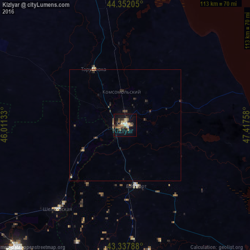
Analysis of Kizlyar night lights 2016
Square area 10x10 km:
 1.59%
1.59%90-99
3.49%80-89
3.97%70-79
4.29%60-69
2.38%50-59
3.97%40-49
6.03%30-39
2.54%20-29
3.81%10-19
29.37%0-9
38.57%Square area 50x50 km:
0.06%90-99
0.16%80-89
0.21%70-79
0.22%60-69
0.14%50-59
0.24%40-49
0.54%30-39
0.34%20-29
0.45%10-19
1.4%0-9
96.23%Clear (daylight) street map image can be seen on geolist.org.
Map coordinates:
44° 21' 7.4" North, 46° 0' 40.8" East
43° 50' 49.6" North, 46° 42' 52" East
43° 20' 16.4" North, 47° 25' 3.3" East
Some cities around Kizlyar sort by population:
• Babayurt
27.9 km =17.3 mi,  169°
169°
• Shëlkovskaya
48.2 km =30 mi,  218°
218°
• Pervomayskoye
8 km =5 mi,  357°
357°
• Aksay
57.1 km =35.5 mi,  202°
202°
• Kochubey
60.8 km =37.8 mi,  350°
350°
• Kargalinskaya
22.2 km =13.8 mi,  238°
238°
• Tarumovka
29.2 km =18.1 mi,  330°
330°
• Grebenskaya
44.7 km =27.8 mi, 218°
547840 (p: 50,564)
Sources (retrieved 2019-11-25):
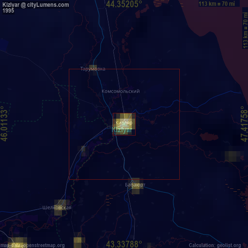
» NASA, Earths city lights 1995
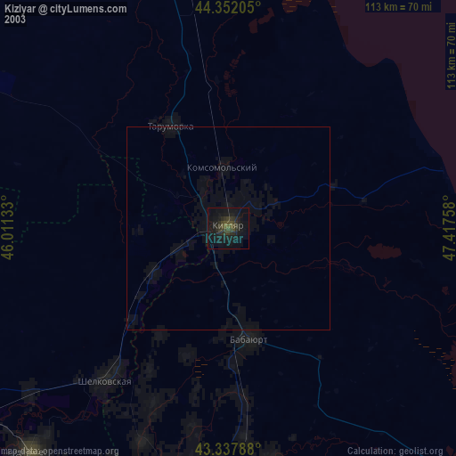
» NASA city lights 2003
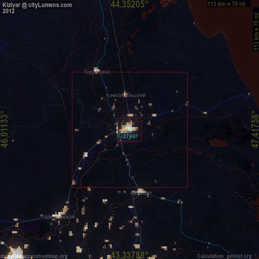
» Earth at Night: Flat Maps 2012, 2016