Kantyshevo night lights from space
Night Light of Kantyshevo (Ingushetiya Republic) from space (Russia) Src. Average luminocity for 10x10km area is 32.2485% and for 50x50km: 15.0126%.
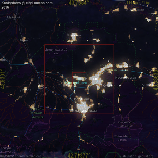
Analysis of Kantyshevo night lights 2016
Square area 10x10 km:
 5.45%
5.45%90-99
7.58%80-89
6.82%70-79
0.15%60-69
2.27%50-59
1.82%40-49
1.36%30-39
0.76%20-29
11.82%10-19
50.45%0-9
11.52%Square area 50x50 km:
2.92%90-99
3.48%80-89
0.99%70-79
0.98%60-69
1.09%50-59
1.41%40-49
1.81%30-39
2.25%20-29
5.21%10-19
12.65%0-9
67.21%Clear (daylight) street map image can be seen on geolist.org.
Map coordinates:
43° 44' 18.2" North, 43° 55' 48.4" East
43° 13' 41.7" North, 44° 37' 59.6" East
42° 42' 49.6" North, 45° 20' 10.9" East
Some cities around Kantyshevo sort by population:
• Nazran’
11.3 km =7 mi,  91°
91°
• Beslan
8.3 km =5.2 mi,  241°
241°
• Ekazhevo
15.5 km =9.6 mi,  96°
96°
• Mikhaylovskoye
14.3 km =8.9 mi,  180°
180°
• Dalakovo
3.7 km =2.3 mi,  286°
286°
• Verkhniye Achaluki
14.2 km =8.8 mi,  21°
21°
• Chermen
10.6 km =6.6 mi,  142°
142°
• Magas
11.3 km =7 mi, 93°
553092 (p: 17,363)
Sources (retrieved 2019-11-25):
» Earth at Night: Flat Maps 2012, 2016