Istra night lights from space
Night Light of Istra (Moscow Oblast) from space (Russia) Src. Average luminocity for 10x10km area is 41.6391% and for 50x50km: 23.7386%.
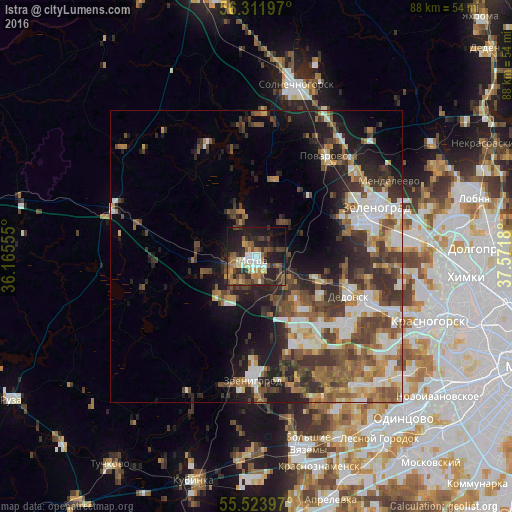
Analysis of Istra night lights 2016
Square area 10x10 km:
 4.51%
4.51%90-99
6.52%80-89
2.76%70-79
5.14%60-69
8.15%50-59
7.77%40-49
9.65%30-39
7.14%20-29
19.3%10-19
23.43%0-9
5.64%Square area 50x50 km:
3.4%90-99
4.44%80-89
2.04%70-79
2.44%60-69
4.02%50-59
4.3%40-49
4.74%30-39
5.14%20-29
6.6%10-19
9.53%0-9
53.35%Clear (daylight) street map image can be seen on geolist.org.
Map coordinates:
56° 18' 43.1" North, 36° 9' 56" East
55° 55' 11.9" North, 36° 52' 7.2" East
55° 31' 26.3" North, 37° 34' 18.5" East
Some cities around Istra sort by population:
• Zelenograd
20.7 km =12.9 mi,  70°
70°
• Nakhabino
20.9 km =13 mi,  112°
112°
• Dedovsk
16.8 km =10.4 mi, 109°
• Zvenigorod
20.7 km =12.9 mi,  181°
181°
• Yershovo
16.8 km =10.4 mi, 181°
• Andreyevka
17.9 km =11.1 mi, 67°
• Povarovo
19.8 km =12.3 mi,  34°
34°
• Pavlovskaya Sloboda
17.7 km =11 mi,  131°
131°
555746 (p: 33,390)
Sources (retrieved 2019-11-25):
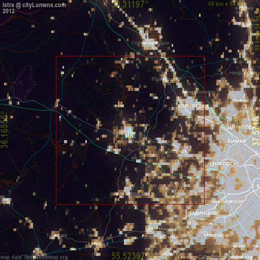
» Earth at Night: Flat Maps 2012, 2016