Groznyy night lights from space
Night Light of Groznyy (Chechnya) from space (Russia) Src. Average luminocity for 10x10km area is 77.5348% and for 50x50km: 19.165%.
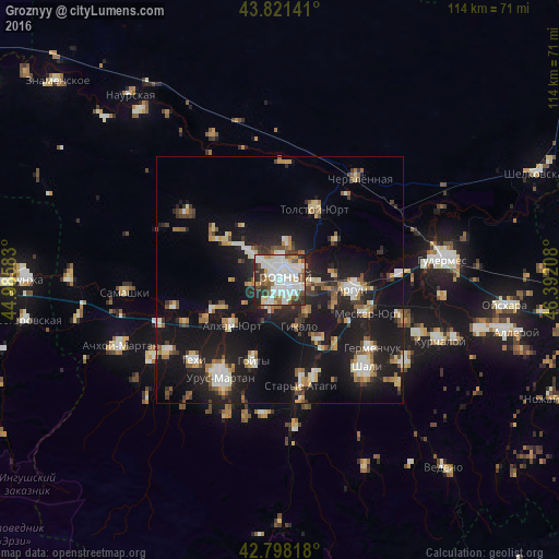
Analysis of Groznyy night lights 2016
Square area 10x10 km:
 28.94%
90-99
25.91%80-89
6.52%70-79
3.64%60-69
3.94%50-59
10%40-49
5.3%30-39
8.33%20-29
6.82%10-19
0.61%0-9
0%Square area 50x50 km:
2.52%90-99
3.4%80-89
2.08%70-79
1.72%60-69
2.19%50-59
2.58%40-49
1.96%30-39
2.41%20-29
5.56%10-19
22.45%0-9
53.13%Clear (daylight) street map image can be seen on geolist.org.
Map coordinates:
43° 49' 17.1" North, 44° 59' 9" East
43° 18' 43" North, 45° 41' 20.2" East
42° 47' 53.4" North, 46° 23' 31.5" East
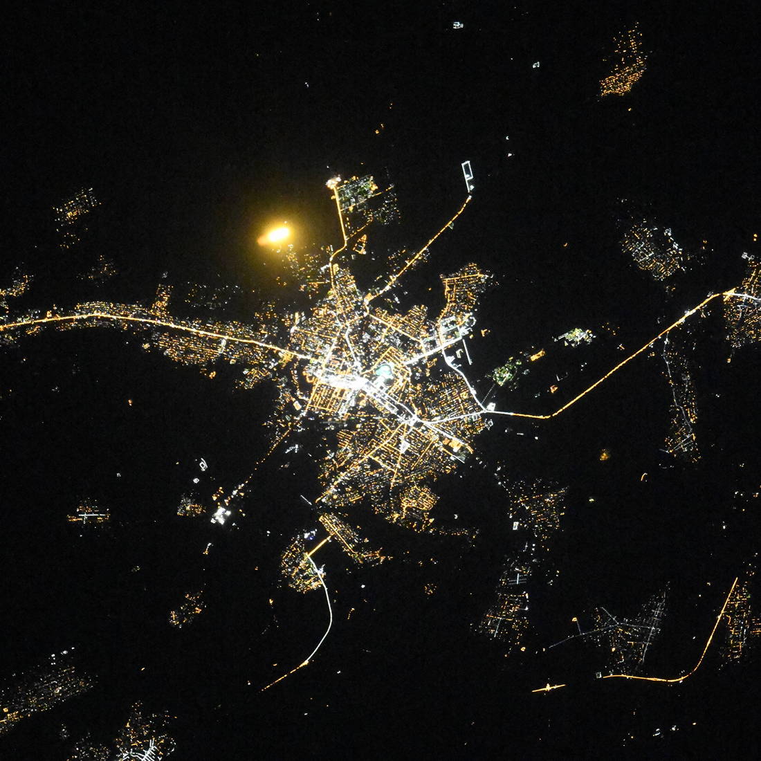
Fantastic image of Groznyy from space taken by astronauts [src2], but I don't have information about it's orientation, scale or angle. If necessary, it was rotated manually, so North points approximately to upper direction. Click to zoom in:
Some cities around Groznyy sort by population:
• Argun
15.1 km =9.4 mi,  96°
96°
• Alkhan-Kala
13.5 km =8.4 mi,  243°
243°
• Alkhan-Yurt
13 km =8.1 mi,  226°
226°
• Khankala
5.5 km =3.4 mi, 101°
• Staraya Sunzha
5.1 km =3.2 mi,  59°
59°
• Tolstoy-Yurt
16.5 km =10.3 mi,  26°
26°
• Chechen-Aul
14.8 km =9.2 mi,  146°
146°
• Pervomayskaya
16.8 km =10.4 mi,  307°
307°
558418 (p: 226,100)
Sources (retrieved 2019-11-25):
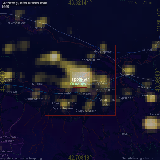
» NASA, Earths city lights 1995
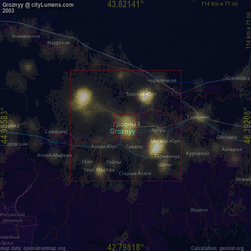
» NASA city lights 2003
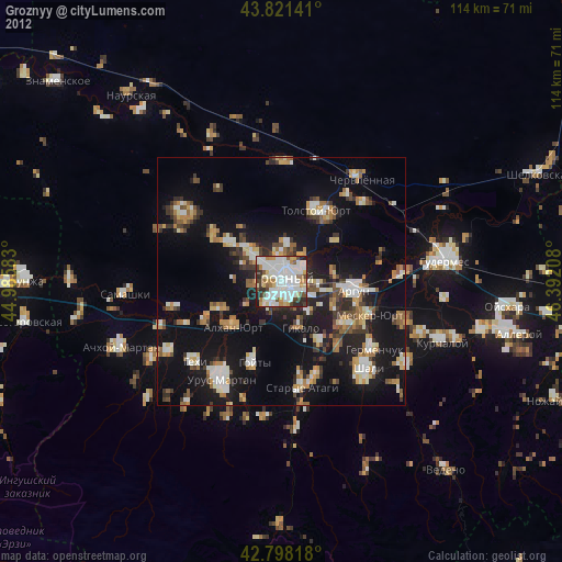
» Earth at Night: Flat Maps 2012, 2016
Src.2: picture by Oleg Kononenko,ĀRoscosmos, retrieved 2019-11-29