Bor night lights from space
Night Light of Bor (Nizhny Novgorod Oblast) from space (Russia) Src. Average luminocity for 10x10km area is 50.1929% and for 50x50km: 17.508%.
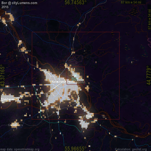
Analysis of Bor night lights 2016
Square area 10x10 km:
 13.45%
90-99
13.1%80-89
4.4%70-79
3.21%60-69
3.93%50-59
2.5%40-49
5.71%30-39
14.64%20-29
14.88%10-19
17.5%0-9
6.67%Square area 50x50 km:
5.22%90-99
4.54%80-89
1.29%70-79
1.1%60-69
1.39%50-59
1.1%40-49
1.26%30-39
2.6%20-29
5.13%10-19
8.09%0-9
68.27%Clear (daylight) street map image can be seen on geolist.org.
Map coordinates:
56° 44' 44.3" North, 43° 22' 17.9" East
56° 21' 29.1" North, 44° 4' 29.2" East
55° 57' 59.6" North, 44° 46' 40.4" East
Some cities around Bor sort by population:
• Nizhniy Novgorod
5.5 km =3.4 mi,  233°
233°
• Dzerzhinsk
40.4 km =25.1 mi,  251°
251°
• Kstovo
24.6 km =15.3 mi,  162°
162°
• Novaya Balakhna
32.6 km =20.3 mi,  296°
296°
• Neklyudovo
8.7 km =5.4 mi,  316°
316°
• Gidrotorf
35.5 km =22.1 mi,  291°
291°
• Bol’shoye Kozino
22.8 km =14.2 mi,  282°
282°
• Linda
28.7 km =17.8 mi,  2°
2°
572665 (p: 60,647)
Sources (retrieved 2019-11-25):
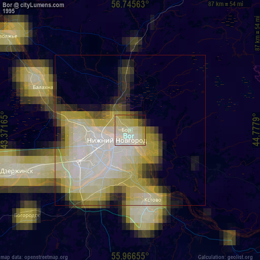
» NASA, Earths city lights 1995
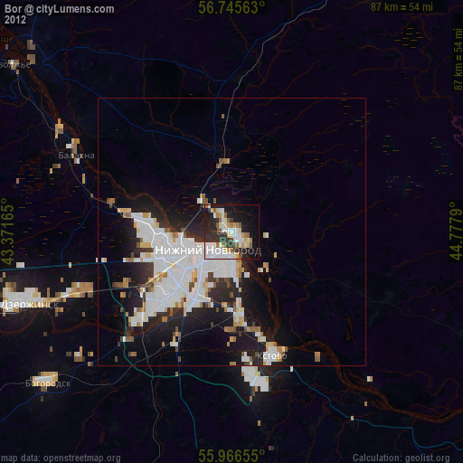
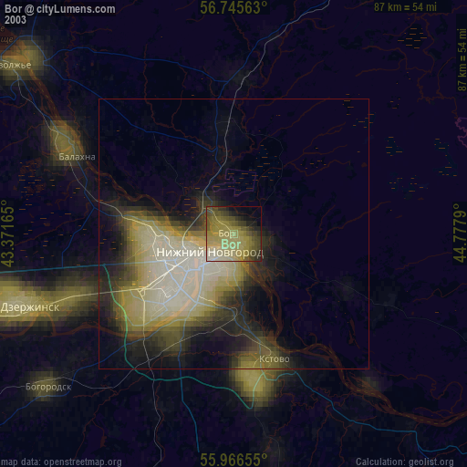
» NASA city lights 2003
» Earth at Night: Flat Maps 2012, 2016