Alkhazurovo night lights from space
Night Light of Alkhazurovo (Chechnya) from space (Russia) Src. Average luminocity for 10x10km area is 13.2984% and for 50x50km: 12.8639%.
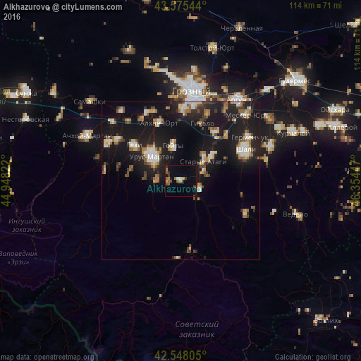
Analysis of Alkhazurovo night lights 2016
Square area 10x10 km:
 0.16%
0.16%90-99
1.11%80-89
0.63%70-79
1.75%60-69
2.86%50-59
2.7%40-49
2.54%30-39
2.54%20-29
0.63%10-19
6.98%0-9
78.1%Square area 50x50 km:
1.2%90-99
2.03%80-89
1.36%70-79
1.26%60-69
1.64%50-59
1.87%40-49
1.43%30-39
1.63%20-29
3.89%10-19
17.65%0-9
66.04%Clear (daylight) street map image can be seen on geolist.org.
Map coordinates:
43° 34' 31.6" North, 44° 56' 53.6" East
43° 3' 50" North, 45° 39' 4.8" East
42° 32' 53" North, 46° 21' 16.1" East
Some cities around Alkhazurovo sort by population:
• Urus-Martan
11.8 km =7.3 mi,  308°
308°
• Goyty
11.4 km =7.1 mi,  348°
348°
• Staryye Atagi
9.6 km =6 mi,  49°
49°
• Gekhi
18.3 km =11.4 mi, 307°
• Novyye Atagi
12.7 km =7.9 mi, 51°
• Duba-Yurt
7.2 km =4.5 mi,  116°
116°
• Martan-Chu
7.2 km =4.5 mi,  269°
269°
• Chiri-Yurt
8 km =5 mi,  69°
69°
582490 (p: 5,452)
Sources (retrieved 2019-11-25):
» Earth at Night: Flat Maps 2012, 2016