Inđija night lights from space
Night Light of Inđija (Vojvodina) from space (Serbia) Src. Average luminocity for 10x10km area is 23.3561% and for 50x50km: 16.5877%.
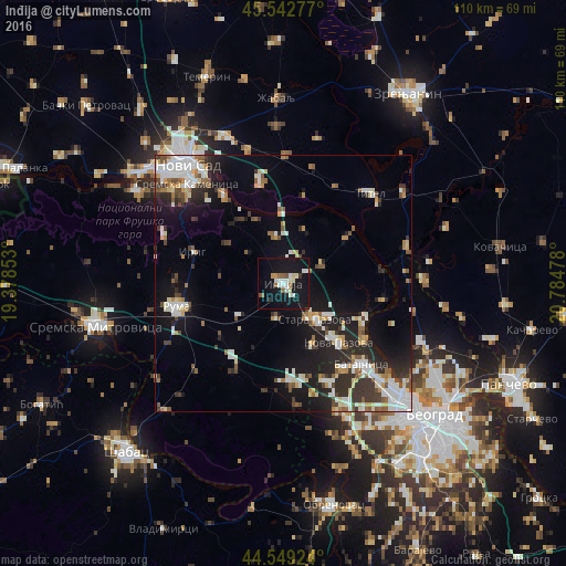
Analysis of Inđija night lights 2016
Square area 10x10 km:
 4.09%
4.09%90-99
5.15%80-89
2.27%70-79
1.21%60-69
0.91%50-59
3.03%40-49
1.36%30-39
1.06%20-29
0.91%10-19
49.09%0-9
30.91%Square area 50x50 km:
2.94%90-99
3.43%80-89
1.6%70-79
1.45%60-69
1.46%50-59
2.08%40-49
1.62%30-39
2.53%20-29
4.28%10-19
11.95%0-9
66.67%Clear (daylight) street map image can be seen on geolist.org.
Map coordinates:
45° 32' 34" North, 19° 22' 42.7" East
45° 2' 53.4" North, 20° 4' 53.9" East
44° 32' 57.3" North, 20° 47' 5.2" East
Some cities around Inđija sort by population:
• Ruma
20.9 km =13 mi,  257°
257°
• Stara Pazova
9.4 km =5.8 mi,  138°
138°
• Nova Pazova
15.9 km =9.9 mi, 137°
• Sremski Karlovci
20.7 km =12.9 mi,  325°
325°
• Dobanovci
27.1 km =16.8 mi,  155°
155°
• Beška
9.3 km =5.8 mi,  352°
352°
• Titel
24.2 km =15 mi,  43°
43°
• Kovilj
21.2 km =13.2 mi, 347°
790015 (p: 26,247)
Sources (retrieved 2019-11-25):
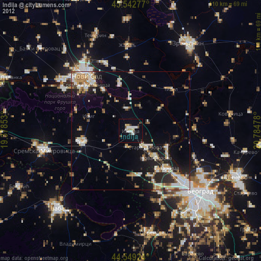
» Earth at Night: Flat Maps 2012, 2016