Tulnici night lights from space
Night Light of Tulnici (Vrancea) from space (Romania) Src. Average luminocity for 10x10km area is 0% and for 50x50km: 0.0038%.
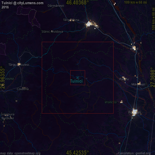
Analysis of Tulnici night lights 2016
Square area 10x10 km:
 0%
0%90-99
0%80-89
0%70-79
0%60-69
0%50-59
0%40-49
0%30-39
0%20-29
0%10-19
0%0-9
100%Square area 50x50 km:
0%90-99
0%80-89
0%70-79
0%60-69
0%50-59
0%40-49
0%30-39
0%20-29
0%10-19
0.02%0-9
99.98%Clear (daylight) street map image can be seen on geolist.org.
Map coordinates:
46° 24' 13.2" North, 25° 57' 48.8" East
45° 55' 0" North, 26° 40' 0" East
45° 25' 31.3" North, 27° 22' 11.3" East
Some cities around Tulnici sort by population:
• Covasna
38.1 km =23.7 mi,  258°
258°
• Oituz
31.7 km =19.7 mi,  353°
353°
• Panciu
32.3 km =20.1 mi,  93°
93°
• Odobeşti
34.1 km =21.2 mi,  119°
119°
• Vidra
18 km =11.2 mi, 90°
• Păuneşti
35.9 km =22.3 mi,  68°
68°
• Căiuţi-Sat
36.1 km =22.4 mi,  34°
34°
• Ţifeşti
34.3 km =21.3 mi,  102°
102°
664507 (p: 5,803)
Sources (retrieved 2019-11-25):
» Earth at Night: Flat Maps 2012, 2016