Ţifeşti night lights from space
Night Light of Ţifeşti (Vrancea) from space (Romania) Src. Average luminocity for 10x10km area is 0.2515% and for 50x50km: 1.3567%.
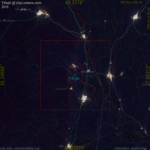
Analysis of Ţifeşti night lights 2016
Square area 10x10 km:
 0%
0%90-99
0%80-89
0%70-79
0%60-69
0%50-59
0%40-49
0%30-39
0%20-29
0.6%10-19
0%0-9
99.4%Square area 50x50 km:
0.19%90-99
0.25%80-89
0.16%70-79
0.11%60-69
0.11%50-59
0.14%40-49
0.2%30-39
0.22%20-29
0.1%10-19
0.77%0-9
97.76%Clear (daylight) street map image can be seen on geolist.org.
Map coordinates:
46° 20' 15.4" North, 26° 23' 48.8" East
45° 51' 0" North, 27° 6' 0" East
45° 21' 29.1" North, 27° 48' 11.3" East
Some cities around Ţifeşti sort by population:
• Focșani
17.9 km =11.1 mi,  158°
158°
• Mărășești
11 km =6.8 mi,  70°
70°
• Panciu
5.7 km =3.5 mi,  346°
346°
• Odobeşti
10 km =6.2 mi,  202°
202°
• Vidra
17.2 km =10.7 mi,  295°
295°
• Cosmeşti
16.5 km =10.3 mi,  82°
82°
• Nicoreşti
18.6 km =11.6 mi,  60°
60°
• Vânători
17.4 km =10.8 mi,  138°
138°
665151 (p: 5,202)
Sources (retrieved 2019-11-25):
» Earth at Night: Flat Maps 2012, 2016