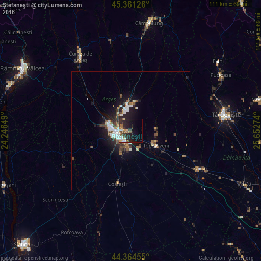
Ştefăneşti night lights from space
Night Light of Ştefăneşti (Arges) from space (Romania) Src. Average luminocity for 10x10km area is 28.2238% and for 50x50km: 5.8678%.
Analysis of Ştefăneşti night lights 2016
Square area 10x10 km:
 4.29%
4.29%90-99
4.13%80-89
2.22%70-79
3.33%60-69
4.29%50-59
3.97%40-49
4.44%30-39
3.33%20-29
16.35%10-19
17.3%0-9
36.35%Square area 50x50 km:
0.9%90-99
0.96%80-89
0.34%70-79
0.53%60-69
0.73%50-59
0.82%40-49
1%30-39
0.94%20-29
2.18%10-19
4.43%0-9
87.17%Clear (daylight) street map image can be seen on geolist.org.
Map coordinates:
45° 21' 40.5" North, 24° 14' 47.4" East
44° 51' 54.2" North, 24° 56' 58.6" East
44° 21' 52.4" North, 25° 39' 9.9" East
Some cities around Ştefăneşti sort by population:
• Piteşti
6.7 km =4.2 mi,  255°
255°
• Mioveni
10.5 km =6.5 mi,  356°
356°
• Topoloveni
11.8 km =7.3 mi,  117°
117°
• Călineşti
9.6 km =6 mi, 124°
• Başcov
11.2 km =7 mi,  290°
290°
• Poiana Lacului
17.9 km =11.1 mi,  252°
252°
• Leordeni
16 km =9.9 mi, 124°
• Bradu
9.9 km =6.2 mi,  203°
203°
666235 (p: 12,837)
Sources (retrieved 2019-11-25):
» Earth at Night: Flat Maps 2012, 2016