Bradu night lights from space
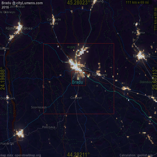
Night Light of Bradu (Arges) from space (Romania) Src. Average luminocity for 10x10km area is 20.0697% and for 50x50km: 5.7015%.
Analysis of Bradu night lights 2016
Square area 10x10 km:
 1.06%
1.06%90-99
1.67%80-89
0.15%70-79
1.67%60-69
3.64%50-59
6.06%40-49
5%30-39
6.67%20-29
8.79%10-19
17.73%0-9
47.58%Square area 50x50 km:
0.9%90-99
0.95%80-89
0.34%70-79
0.53%60-69
0.65%50-59
0.81%40-49
0.99%30-39
0.94%20-29
2.13%10-19
4.3%0-9
87.47%Clear (daylight) street map image can be seen on geolist.org.
Map coordinates:
45° 16' 48.8" North, 24° 11' 48.8" East
44° 46' 60" North, 24° 54' 0" East
44° 16' 55.6" North, 25° 36' 11.3" East
Some cities around Bradu sort by population:
• Piteşti
7.9 km =4.9 mi,  340°
340°
• Ştefăneşti
9.9 km =6.2 mi,  23°
23°
• Topoloveni
14.9 km =9.3 mi,  75°
75°
• Costeşti
13 km =8.1 mi,  185°
185°
• Călineşti
12.4 km =7.7 mi,  72°
72°
• Başcov
14.5 km =9 mi,  333°
333°
• Poiana Lacului
13.7 km =8.5 mi,  285°
285°
• Leordeni
17.1 km =10.6 mi,  90°
90°
683933 (p: 5,091)
Sources (retrieved 2019-11-25):
» Earth at Night: Flat Maps 2012, 2016