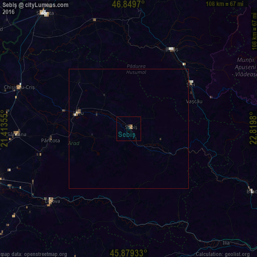
Sebiş night lights from space
Night Light of Sebiş (Arad) from space (Romania) Src. Average luminocity for 10x10km area is 1.7946% and for 50x50km: 0.2412%.
Analysis of Sebiş night lights 2016
Square area 10x10 km:
100  0%
0%
90-99 0%
80-89 0%
70-79 0%
60-69 1.19%
50-59 1.19%
40-49 0%
30-39 0.15%
20-29 0.45%
10-19 0%
0-9 97.02%
0%90-99
0%80-89
0%70-79
0%60-69
1.19%50-59
1.19%40-49
0%30-39
0.15%20-29
0.45%10-19
0%0-9
97.02%Square area 50x50 km:
100 0.01%
90-99 0.01%
80-89 0.02%
70-79 0%
60-69 0.07%
50-59 0.07%
40-49 0.07%
30-39 0.05%
20-29 0.06%
10-19 0.1%
0-9 99.53%
0.01%90-99
0.01%80-89
0.02%70-79
0%60-69
0.07%50-59
0.07%40-49
0.07%30-39
0.05%20-29
0.06%10-19
0.1%0-9
99.53%Clear (daylight) street map image can be seen on geolist.org.
Map coordinates:
46° 50' 58.9" North, 21° 24' 48.8" East
46° 22' 0" North, 22° 7' 0" East
45° 52' 45.6" North, 22° 49' 11.3" East
Some cities around Sebiş sort by population:
• Lipova
44.6 km =27.7 mi,  226°
226°
• Beiuş
37.8 km =23.5 mi,  28°
28°
• Ineu
22.5 km =14 mi,  289°
289°
• Şiria
38.7 km =24 mi,  253°
253°
• Pâncota
32.2 km =20 mi,  263°
263°
• Ștei
31.6 km =19.6 mi,  54°
54°
• Târnova
24.9 km =15.5 mi, 257°
• Batăr
43.6 km =27.1 mi,  328°
328°
667515 (p: 6,168)
Sources (retrieved 2019-11-25):
» Earth at Night: Flat Maps 2012, 2016